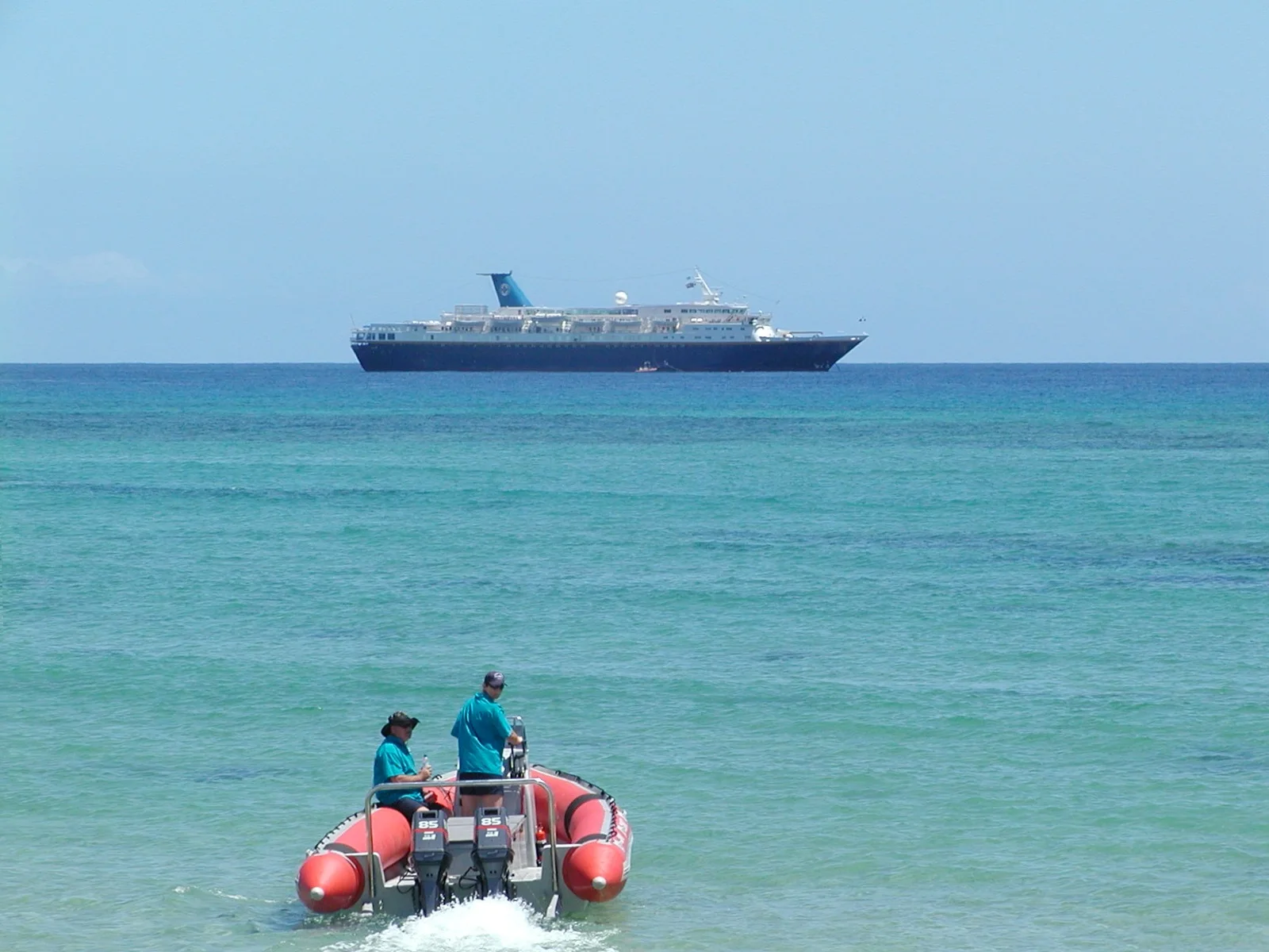
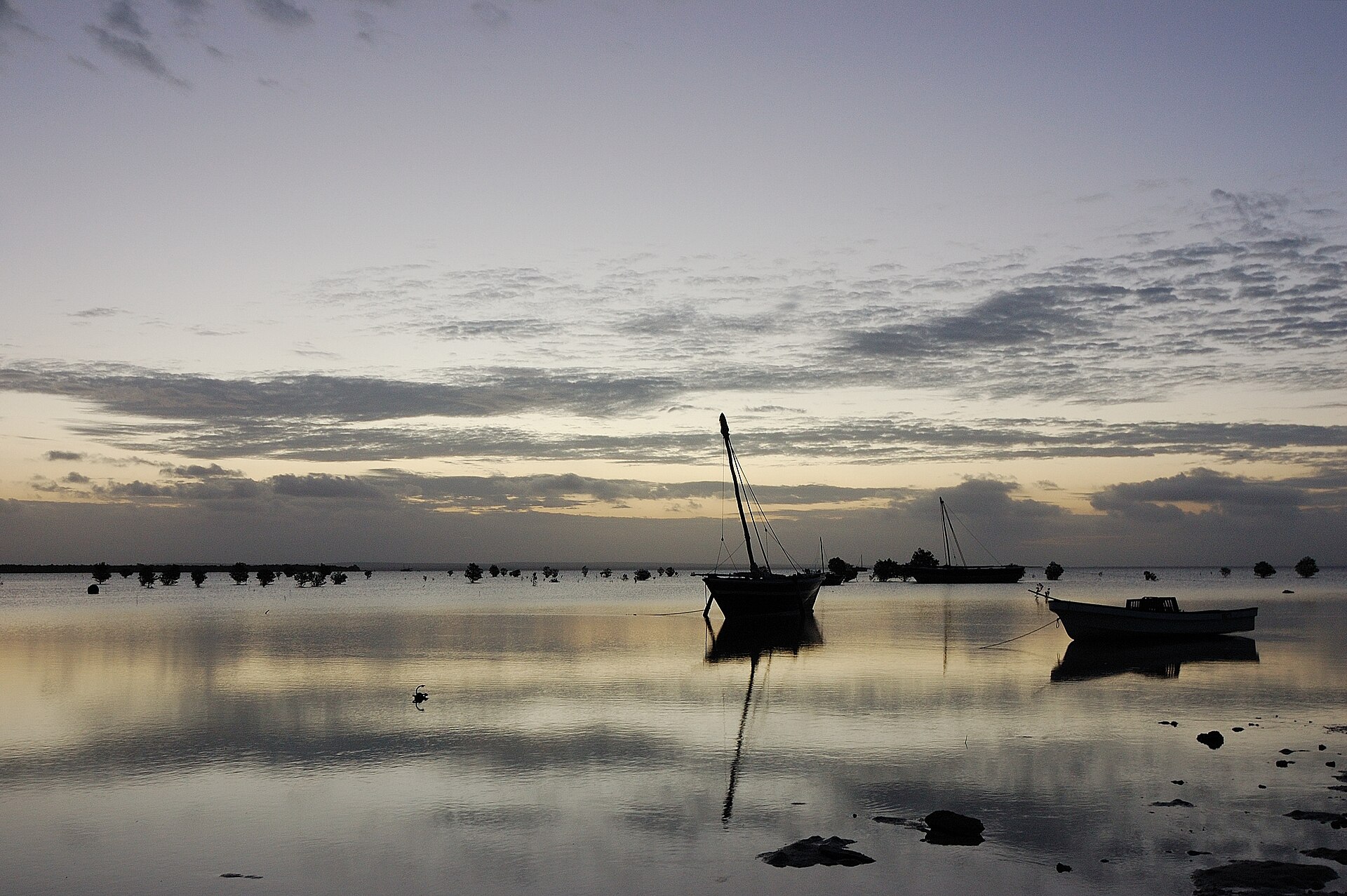
High dunes, freshwater lakes and broad sand flats create a quieter island inside the Bazaruto Archipelago. The view is only the surface of a longer story of formation, use and change.
4 min readBazaruto Archipelago, Mozambique
Benguerra Island is centred on Bazaruto Archipelago, where high dunes, freshwater lakes and broad sand flats create a quieter island inside the Bazaruto Archipelago. The strongest reason to make the journey is to climb the dune ridge before crossing to the lagoon side.
Visitors often encounter Benguerra Island through the idea of “Climb the dune ridge before crossing to the lagoon side”, but the destination is more than that single scene. Its landscape carries evidence of work, movement, adaptation and environmental change. The view reveals several landscapes at once: Indian Ocean surf, interior lakes, white dunes and shallow turquoise channels.
Because land is limited, every ridge, bay and passage acquires practical importance. At Benguerra Island, “Dune ridge” is where that compressed geography becomes easiest to read. High sand provides a complete view of island and archipelago.
Benguerra Island is not a uniform area. Changes in elevation, exposure, water and substrate produce distinct environments over short distances, which is why a route through the place often reveals more than a fixed viewpoint.
02
Lives and livelihoods
The cultural layer of the place
Benguerra lies within a coast used for centuries by fishing communities and Indian Ocean traders. Swahili, African, Arab and Portuguese networks moved people and goods through the Bazaruto channel, while island households relied on boats, shellfish, small fields and seasonal access to the mainland.
Colonial-era pearling, fishing and later tourism altered the local economy. Creation of Bazaruto National Park brought formal protection to reefs, dunes and dugong habitat, but also changed rules governing fishing and resource use for island communities.
03
Reorganisation
What altered the old balance
High-end lodges made Benguerra internationally visible, yet the island remains a lived landscape with villages, wells, boats and cultivated ground. Reading the old trading coast, community routes and conservation boundaries together prevents the lagoon from being reduced to a resort backdrop.
04
On the ground
Where the story becomes visible
At Benguerra Island, the feature “Dune ridge” is one of the most useful pieces of visible evidence. High sand provides a complete view of island and archipelago. Within Benguerra Island, it is both an attraction and a record of the processes described above.
At Benguerra Island, the significance of the feature “Freshwater lakes” goes beyond its visual impact. Interior wetlands support birds and crocodiles. Within Benguerra Island, it is both an attraction and a record of the processes described above.
Start with the feature “Dugong waters”, because it condenses a much larger part of the story of Benguerra Island. Seagrass channels are important habitat for rare marine mammals. Its position and condition at Benguerra Island connect physical history with the way people use the place now.
05
Present day
Season, scale and the present day
Benguerra Island changes through the year because weather and biological cycles rearrange what can be seen and used. For Benguerra Island, the most reliable visiting window is Apr-Nov.
For Benguerra Island, the stated visiting window is Apr-Nov, but its practical meaning depends on local weather, water and transport rather than the calendar alone.
Placed within its wider geography, Benguerra Island is not an isolated exception. Beyond the best-known image of Benguerra Island feature, Benguerra Island matters because freshwater lakes and dugong waters place the destination inside a broader regional story.
Chronology
Key dates
Indian Ocean fishing and trade
Coastal communities used the channel and islands within wider Swahili and southern African networks.
Fishing, pearling and tourism expand
Commercial activity brought new markets and infrastructure to the archipelago.
National park protection
Formal conservation increasingly regulated reefs, dunes, wildlife and local resource use.
Travel notes
Plan your visit
Time needed
3-5 days
Getting around
Local transport, walking and boat or ferry connections
Effort
Easy to moderate
Plan first
Main flight or ferry, accommodation and weather backup
Time of day
Morning movement; late light for coast
Best window
Apr-Nov
Traveller stories
Stories from people who have been here.
First-hand moments, practical notes and overlooked details from Benguerra Island.