Hoodoo fields
Erosion produces an extraordinary variety of small-scale rock forms across the basin.
Build the visit around sunrise or late afternoon. Low light reveals relief, animal movement and surface colour that disappear around midday.
Hoodoos, petrified wood and eroded clay create a roadless badland wilderness in northwestern New Mexico.
Erosion produces an extraordinary variety of small-scale rock forms across the basin.
Build the visit around sunrise or late afternoon. Low light reveals relief, animal movement and surface colour that disappear around midday.
The details that make Bisti / De-Na-Zin different.
Erosion produces an extraordinary variety of small-scale rock forms across the basin.
Fossilised tree fragments reveal ancient environments beneath today's dry surface.
The absence of formal trails makes spatial awareness part of the experience.
Hoodoos, petrified wood and eroded clay create a roadless badland wilderness in northwestern New Mexico. This account follows the forces, communities and decisions that made the present landscape.
Bisti / De-Na-Zin Wilderness protects a broad badland landscape south of Farmington, New Mexico. There are few constructed routes and no single central attraction, so visitors navigate through washes, low ridges and scattered geological formations. The apparent emptiness contains fossil material, petrified wood and a highly detailed record of erosion.
The familiar invitation at Bisti / De-Na-Zin is “Hoodoo fields”, yet that image makes more sense when it is connected to the landform, the local economy and the changes that determined access. Erosion produces an extraordinary variety of small-scale rock forms across the basin.
Continue to practical planningUnderstanding Bisti / De-Na-Zin starts below the visible surface. Soft shale, sandstone and volcanic ash have weathered into hoodoos, balanced rocks, wings and cracked clay surfaces. Colour changes subtly between grey, brown, red and black depending on mineral layers and light. Because drainage channels shift and formations are dispersed, orientation and scale can be more challenging than the moderate relief suggests.
Altitude turns distance into effort and creates abrupt ecological boundaries. At Bisti / De-Na-Zin, “Hoodoo fields” provides a useful reference point for understanding that vertical structure. Erosion produces an extraordinary variety of small-scale rock forms across the basin.
At Bisti / De-Na-Zin, people learned to work with the landscape limits rather than arriving after its story was complete. The area lies within a wider cultural landscape important to Navajo communities and shaped by long histories of movement, grazing and resource use. Fossil collecting and off-road damage have created conservation concerns. The wilderness designation protects natural processes but also requires visitors to take responsibility for route finding and minimal impact.
The role of “Petrified wood” is especially revealing at Bisti / De-Na-Zin. Fossilised tree fragments reveal ancient environments beneath today's dry surface. In the history of Bisti / De-Na-Zin, it connects the wider regional context with a specific place that can still be examined today.
Formal protection changed how Bisti / De-Na-Zin was described and managed. At Bisti / De-Na-Zin, new boundaries, visitor rules and conservation priorities created a public identity that still has to coexist with settlements, customary use and economic pressures. At Bisti / De-Na-Zin, the current visitor experience is the newest layer rather than the whole history.
Look closely at the feature “Hoodoo fields” in Bisti / De-Na-Zin; it carries information that a panoramic view can miss. Erosion produces an extraordinary variety of small-scale rock forms across the basin. At Bisti / De-Na-Zin, the detail links local scale with the wider regional pattern.
At Bisti / De-Na-Zin, the feature “Petrified wood” is one of the most useful pieces of visible evidence. Fossilised tree fragments reveal ancient environments beneath today's dry surface. For Bisti / De-Na-Zin, that relationship is more informative than treating the feature only as a photograph or checklist item.
Look closely at the feature “Roadless navigation” in Bisti / De-Na-Zin; it carries information that a panoramic view can miss. The absence of formal trails makes spatial awareness part of the experience. Its position and condition at Bisti / De-Na-Zin connect physical history with the way people use the place now.
A single visit to Bisti / De-Na-Zin captures only one phase of its annual cycle. Spring and autumn provide the most moderate temperatures, though wind and sudden storms remain possible. Summer heat and lack of shade make long walks difficult, while winter can bring freezing conditions and mud. Clay surfaces become extremely slippery after rain, changing access even when the weather appears clear.
For Bisti / De-Na-Zin, the main seasonal constraint is: the strongest planning window is Mar-May, Sep-Nov. For Bisti / De-Na-Zin, outside it, check weather, daylight, road or ferry schedules and seasonal closures before committing to a fixed route.
For Bisti / De-Na-Zin, one practical detail matters: distances, fuel, food and mobile coverage can be less predictable than the map suggests. For Bisti / De-Na-Zin, carry offline maps and keep a margin in the schedule.
Placed within its wider geography, Bisti / De-Na-Zin is not an isolated exception. For Bisti / De-Na-Zin, the wider context shows that, bisti connects with the San Juan Basin, Chaco cultural landscapes and other New Mexico badlands. For Bisti / De-Na-Zin, together they show how geology, paleontology and Indigenous history overlap across a region often crossed quickly between larger national parks.
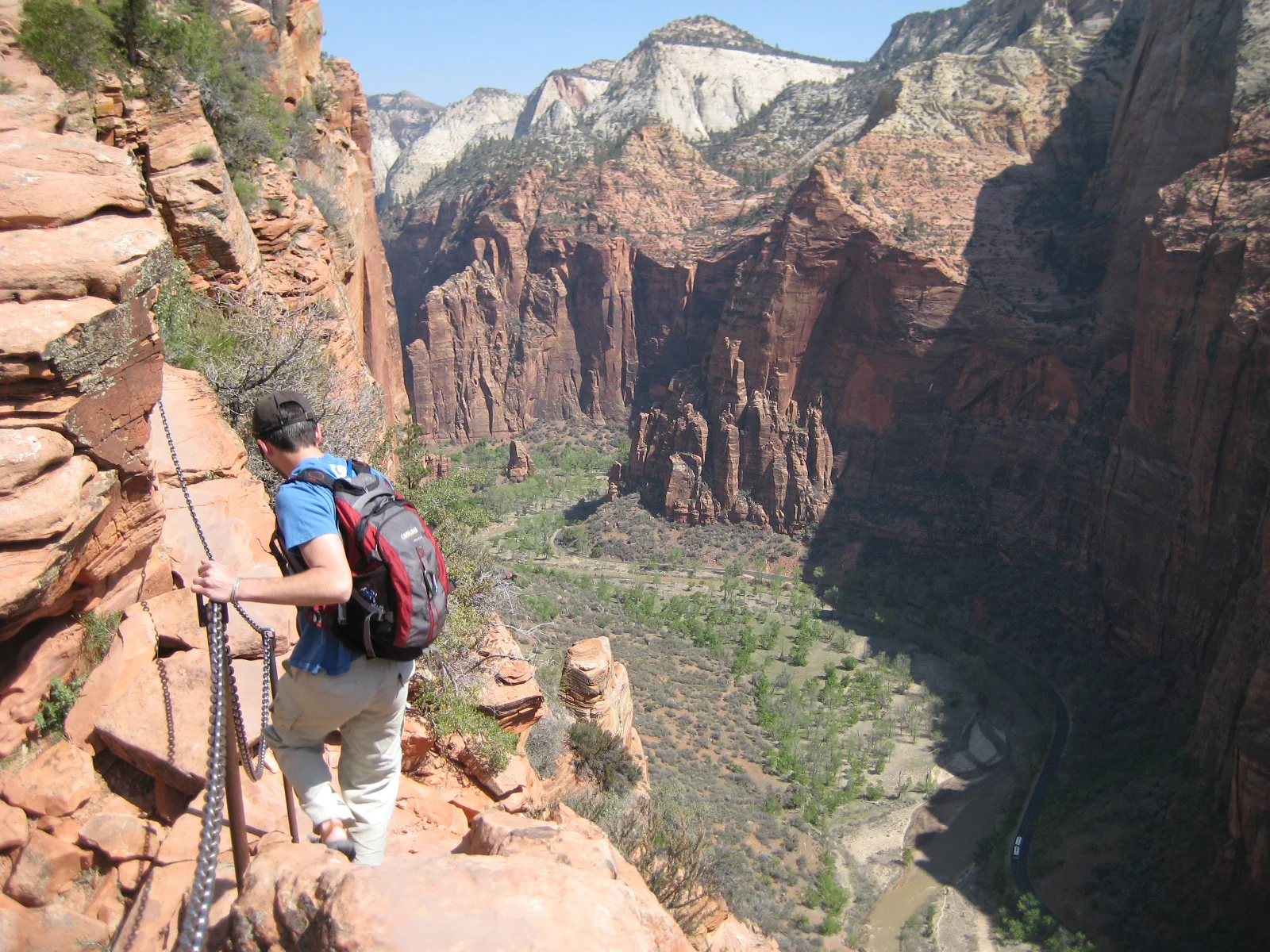
A steep trail climbs Walter’s Wiggles and an exposed chain-protected fin above Zion Canyon.
Explore this place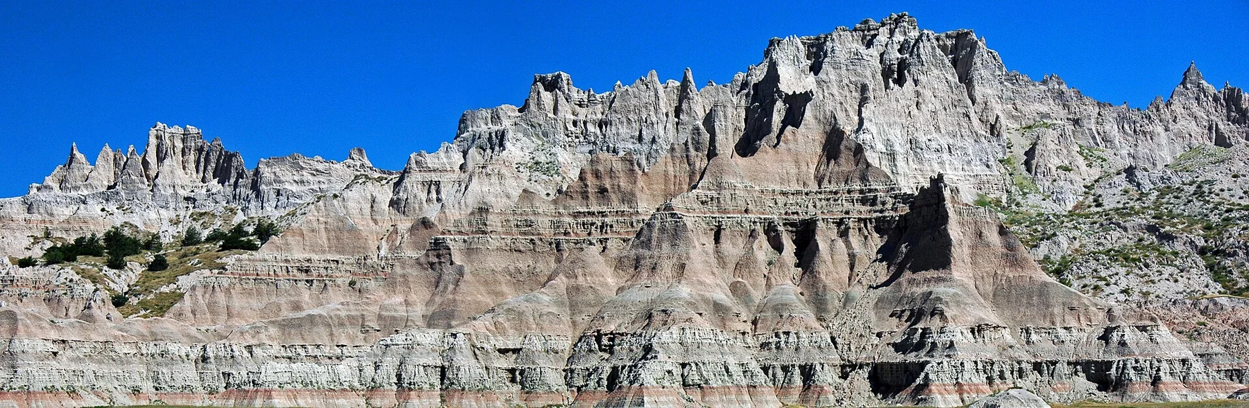
Sharp eroded spires and mixed-grass prairie meet in a dense fossil landscape.
Explore this place
Desert basins, volcanic mountains and the Rio Grande form a remote border landscape in far western Texas.
Explore this place