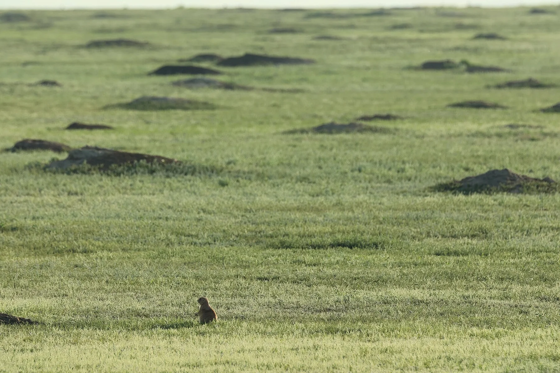
Watch the stars from a pine ridge above the prairie
The unusual elevation creates an island of forest and cooler air, while the open plains remain visible far below.
Use sunrise or the final two hours of light, when relief, wildlife and grass colour become much easier to read.
Look a little closer
Worth discovering
The details that make Cypress Hills different.
Destination view
01
Centre Block plateau
Forest roads and viewpoints cross the highest ground.
Destination view
02
Dark-sky preserve
Clear air and limited light pollution favour stargazing.
Destination view
03
Conglomerate cliffs
Erosion exposes colourful rock along coulees and ridges.
Photo journal
A closer look at Cypress Hills
8 photographs
01A panorama of Cypress Hills02Cypress Hills — view 203Reesor lake, Cypress hills04White Valley impact area (GeoDIL number - 1123)05Cypress Hills Interprovincial Park (Saskatchewan)06Elkwater Lake 202007Reesor Lake viewpoint08Reesor Lake viewpoint 1
Landscape and history
How time shaped Cypress Hills
A high forested plateau rises above the surrounding prairie with lodgepole pine, coulees and dark skies. This account follows the forces, communities and decisions that made the present landscape.
4 min readSaskatchewan-Alberta border, Canada
Cypress Hills is centred on Saskatchewan-Alberta border, where a high forested plateau rises above the surrounding prairie with lodgepole pine, coulees and dark skies. The strongest reason to make the journey is to watch the stars from a pine ridge above the prairie.
Visitors often encounter Cypress Hills through the idea of “Watch the stars from a pine ridge above the prairie”, but the destination is more than that single scene. Its landscape carries evidence of work, movement, adaptation and environmental change. The unusual elevation creates an island of forest and cooler air, while the open plains remain visible far below.
Before roads, settlements or protected-area boundaries, the terrain of Cypress Hills set the basic terms. The terrain is subtle rather than flat: long ridges, coulees, dunes and river breaks become visible with low light and slow travel. Wildlife often provides the main sense of scale.
Altitude turns distance into effort and creates abrupt ecological boundaries. At Cypress Hills, “Centre Block plateau” provides a useful reference point for understanding that vertical structure. Forest roads and viewpoints cross the highest ground.
02
Cultural landscape
People, work and memory
Cypress Hills was a high, wooded refuge within the northern plains and an important meeting, hunting and conflict zone for Indigenous nations. The 1873 Cypress Hills Massacre, in which wolf hunters and traders killed Assiniboine people, became one of the events that accelerated creation of the North-West Mounted Police.
Fort Walsh was established in 1875, and the hills later supported ranching, forestry and recreation. Their elevation preserved habitats and archaeological sites distinct from the surrounding prairie.
03
Modern history
How access and attention changed the place
The modern interprovincial park links Saskatchewan and Alberta management across a landscape shaped by violence, policing, ranching and conservation. Fort Walsh and the wooded plateau must be at Cypress Hills, considered together rather than as separate historic and natural attractions.
04
Details to read
Where the story becomes visible
At Cypress Hills, the significance of the feature “Centre Block plateau” goes beyond its visual impact. Forest roads and viewpoints cross the highest ground. Within Cypress Hills, the feature explains why this destination differs from nearby landscapes.
At Cypress Hills, the feature “Dark-sky preserve” is one of the most useful pieces of visible evidence. Clear air and limited light pollution favour stargazing. At Cypress Hills, it gives a concrete reference point for reading change rather than merely collecting viewpoints.
Start with the feature “Conglomerate cliffs”, because it condenses a much larger part of the story of Cypress Hills. Erosion exposes colourful rock along coulees and ridges. Its position and condition at Cypress Hills connect physical history with the way people use the place now.
05
Living landscape
What continues to change
Cypress Hills changes through the year because weather and biological cycles rearrange what can be seen and used. For Cypress Hills, the most reliable visiting window is May-Oct.
For Cypress Hills, the stated visiting window is May-Oct, but its practical meaning depends on local weather, water and transport rather than the calendar alone.
Placed within its wider geography, Cypress Hills is not an isolated exception. Beyond the best-known image of Cypress Hills feature, Cypress Hills matters because dark-sky preserve and conglomerate cliffs place the destination inside a broader regional story.
Chronology
Key dates
A highland meeting landscape
Indigenous nations used the hills for shelter, hunting and travel across the plains.
Massacre and Fort Walsh
The killing of Assiniboine people contributed to mounted-police expansion and a permanent post.
Interprovincial park established
Saskatchewan and Alberta joined protected areas across the provincial boundary.
Travel notes
Plan your visit
Time needed
2-3 days
Getting around
Car, scenic roads and walking trails
Effort
Easy to moderate
Plan first
Accommodation, fuel and wildlife conditions
Time of day
Sunrise and the final hours of light
Best window
May-Oct
Traveller stories
Stories from people who have been here.
First-hand moments, practical notes and overlooked details from Cypress Hills.