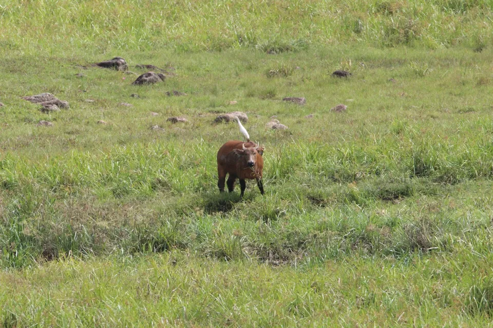
West African water tower

Fouta Djallon

A cool West African highland of plateaus, waterfalls, cultivated valleys and villages at the headwaters of major regional rivers.

WaterfallsPlateau villagesRiver headwaters

Location
Guinean Highlands, Guinea
Best window
Nov-Apr
Suggested stay
2-4 days
Go for
Highland water routes
The reason to go

Ditinn and Kambadaga falls

Large waterfalls demonstrate how the plateau breaks into deep river valleys.

Check opening days or local access first, then connect the main site to the surrounding streets, paths or landscape instead of treating it as an isolated stop.

Look a little closer

Worth discovering

The details that make Fouta Djallon different.

Destination view
01

Ditinn and Kambadaga falls

Large waterfalls demonstrate how the plateau breaks into deep river valleys.

Destination view
02

Plateau settlements

Villages, fields and grazing land occupy cooler high ground between the major watercourses.

Destination view
03

River sources

Headwaters link the highlands to landscapes and communities across much of West Africa.

Photo journal

A closer look at Fouta Djallon

1 photograph
Beyond the surface

How time shaped Fouta Djallon

A cool West African highland of plateaus, waterfalls, cultivated valleys and villages at the headwaters of major regional rivers. The view is only the surface of a longer story of formation, use and change.

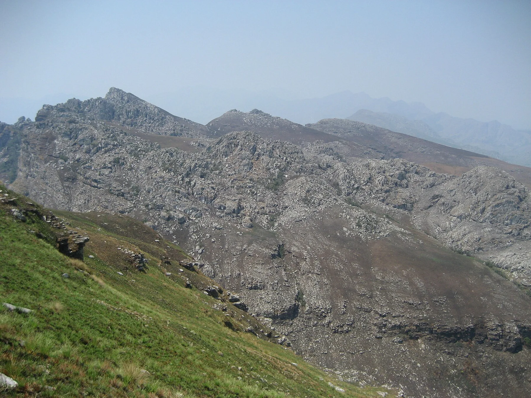
Fouta Djallon occupies the highlands of central Guinea, where sandstone plateaus and deeply cut valleys form the source region for several major West African rivers. The elevation produces a cooler environment than surrounding lowlands. Towns, Fulani villages, pasture and cultivated ground are distributed across a complex landscape of ridges and watercourses.

The familiar invitation at Fouta Djallon is “Ditinn and Kambadaga falls”, yet that image makes more sense when it is connected to the landform, the local economy and the changes that determined access. Large waterfalls demonstrate how the plateau breaks into deep river valleys.

Continue to practical planning
Fouta-Djallon-Les bords du Bafing au pont de Sokotoro (Guinée)See the complete photo journal
Origins

The physical foundations of the place

Understanding Fouta Djallon starts below the visible surface. Streams descend from broad uplands through gorges and over numerous waterfalls. Gallery forest follows wetter valleys, while grassland and agricultural plots cover more open ground. Escarpments create frequent viewpoints, but the region's identity lies equally in its network of water and inhabited plateaus.

Water is not simply scenery at Fouta Djallon; it organises erosion, habitat and movement. “Ditinn and Kambadaga falls” is where those roles become easiest to separate and understand. Large waterfalls demonstrate how the plateau breaks into deep river valleys.

Human history

People, work and memory

At Fouta Djallon, daily life gives the terrain a historical meaning that a viewpoint alone cannot provide. Fulani culture, pastoralism and farming are central to the highlands. Historic religious and political centres influenced a wider region, while contemporary communities rely on roads and paths that can be difficult during rain. Local guides are important for reaching waterfalls and understanding access across village land.

The role of “Plateau settlements” is especially revealing at Fouta Djallon. Villages, fields and grazing land occupy cooler high ground between the major watercourses. In the history of Fouta Djallon, it connects the wider regional context with a specific place that can still be examined today.

Turning point

The transition visible today

The decisive modern change at Fouta Djallon was access. At Fouta Djallon, transport and visitor infrastructure made the landscape easier to reach while concentrating pressure at the few points where roads, boats or trails enter it. At Fouta Djallon, the consequences are clearest where traditional use, protection and tourism occupy the same ground.

On the ground

The small features that reveal the larger pattern

At Fouta Djallon, the feature “Ditinn and Kambadaga falls” provides a precise clue to how the landscape works. Large waterfalls demonstrate how the plateau breaks into deep river valleys. Within Fouta Djallon, it is both an attraction and a record of the processes described above.

At Fouta Djallon, the significance of the feature “Plateau settlements” goes beyond its visual impact. Villages, fields and grazing land occupy cooler high ground between the major watercourses. Within Fouta Djallon, the feature explains why this destination differs from nearby landscapes.

At Fouta Djallon, the feature “River sources” is best understood as part of the surrounding system rather than an isolated stop. Headwaters link the highlands to landscapes and communities across much of West Africa. At Fouta Djallon, it gives a concrete reference point for reading change rather than merely collecting viewpoints.

Season and scale

The current chapter

At Fouta Djallon, light, water and temperature reveal different structures at different times of year. The dry season generally provides easier road travel and clearer access to trails. Late in the rains, waterfalls carry more water but tracks can be severely affected. Temperatures are moderated by altitude, though midday sun remains strong on exposed plateaus.

For Fouta Djallon, the main seasonal constraint is: the strongest planning window is Nov-Apr. For Fouta Djallon, outside it, check weather, daylight, road or ferry schedules and seasonal closures before committing to a fixed route.

For Fouta Djallon, one practical detail matters: cloud, wind and trail conditions can change quickly. For Fouta Djallon, put the highest or most exposed stop first and keep a lower-level alternative.

Placed within its wider geography, Fouta Djallon is not an isolated exception. Fouta Djallon is a regional watershed whose rivers continue toward Senegal, Gambia, Niger and coastal basins. For Fouta Djallon, exploring the highlands reveals a geographical importance far greater than the area's relatively low international visibility.

Travel notes

Plan your visit

Time needed
2-4 days
Getting around
Car to access points, then walking or hiking
Effort
Moderate
Plan first
Accommodation and seasonal transport
Time of day
Start early for clearer conditions and more time
Best window
Nov-Apr
Traveller stories

Stories from people who have been here.

First-hand moments, practical notes and overlooked details from Fouta Djallon.

Loading traveller stories…

Browse all traveller stories ↗

Keep exploring

Where next?

All place stories