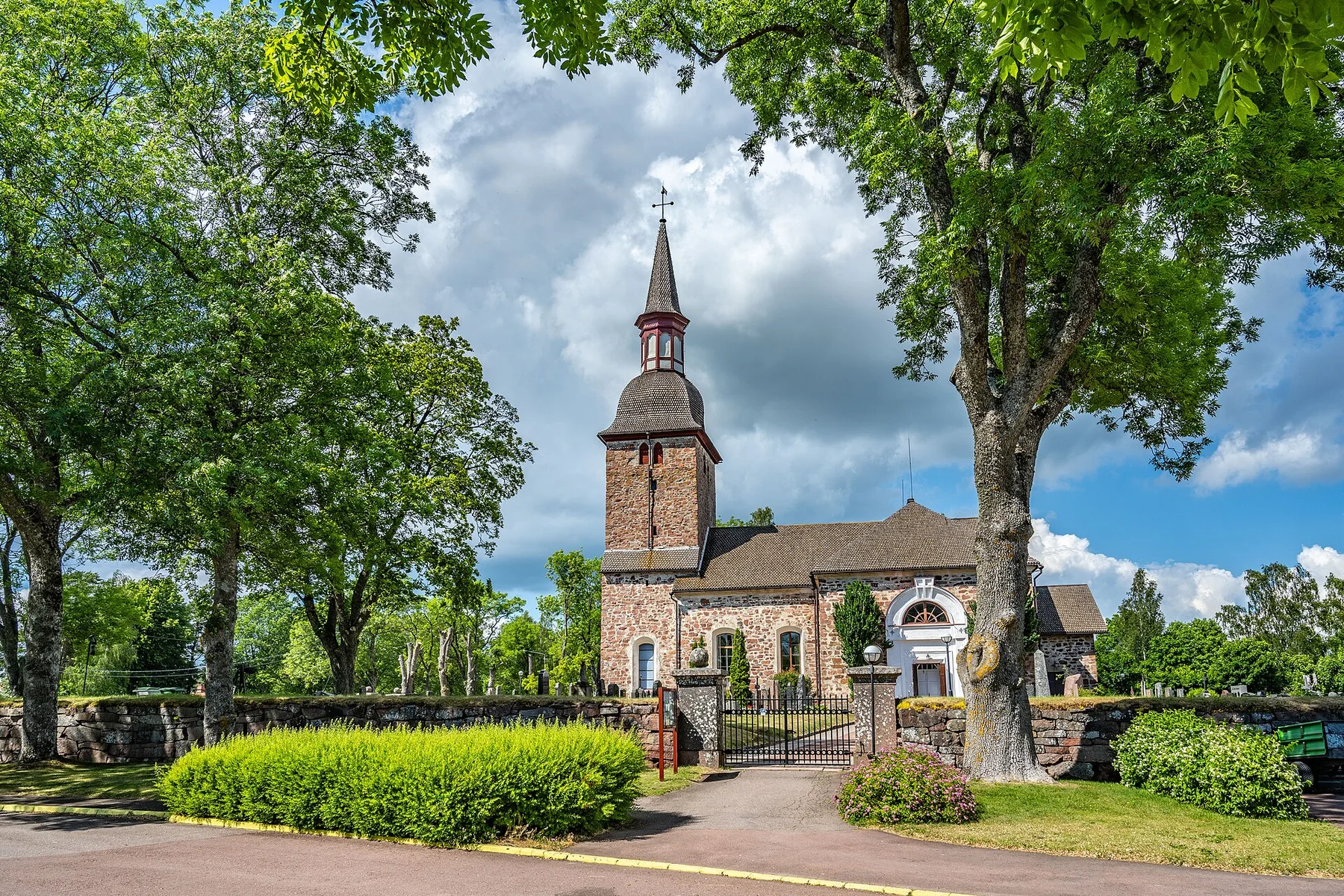
Sand and forest in open sea

Gotska Sandon

A remote Baltic island of moving dunes, pine forest, seal beaches and lighthouse history, reached only when sea and weather permit.

Remote islandDunesLighthouses

Location
Central Baltic Sea, Sweden
Best window
May-Sep
Suggested stay
2-4 days
Go for
Self-contained island escape
The reason to go

A Baltic island with no easy edges

Gotska Sandon feels larger than its size because there are no villages, few fixed routes and a shoreline that alternates between wide sand, wind-shaped forest and seal haul-outs.

Stay long enough to connect Gotska Sandon's headline landscape with one quieter local route rather than treating it as a single viewpoint.
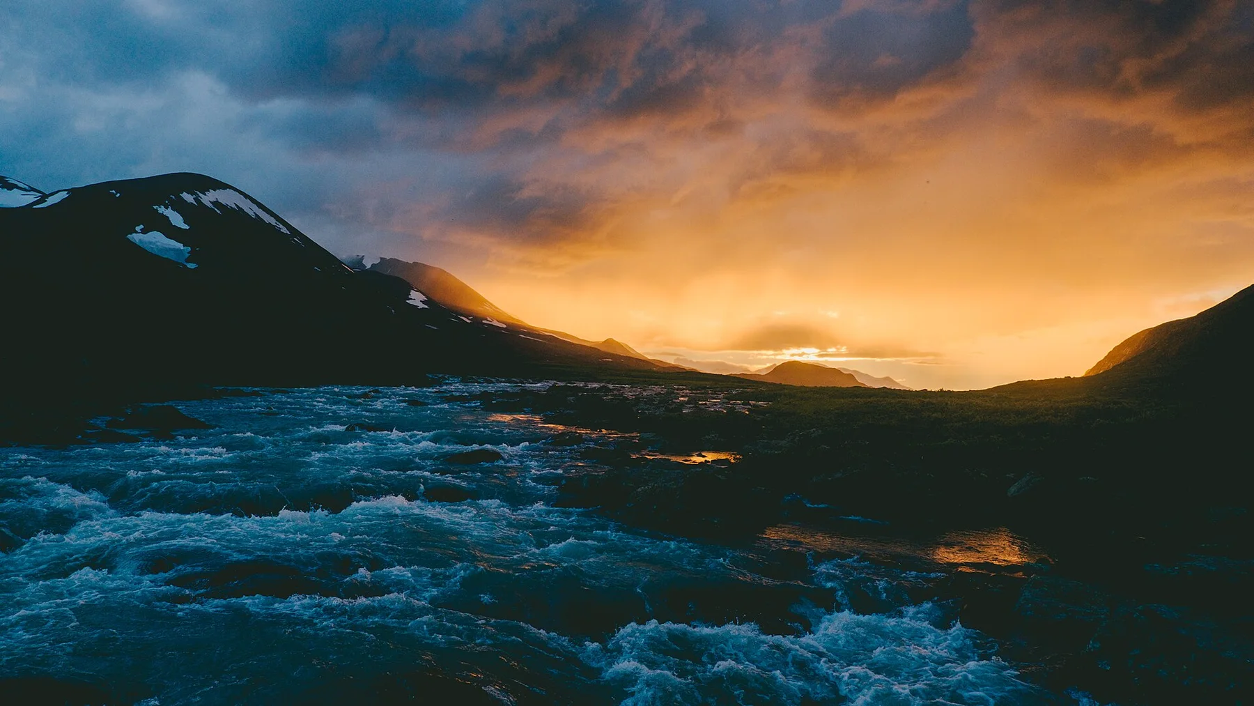
Look a little closer

Worth discovering

The details that make Gotska Sandon different.

Destination view
01

A forest on sand

Much of the island is pine woodland rooted in deep sand, creating a surprising inland environment far from the rocky image of Baltic islands.

Destination view
02

Shifting shorelines

Dunes and beaches continue to move under wind and waves, making the island's edge visibly dynamic.

Destination view
03

Lighthouse solitude

Historic lighthouse stations and simple visitor facilities are among the island's only built landmarks.

Photo journal

A closer look at Gotska Sandon

4 photographs
Deep background

Reading the layers of Gotska Sandon

A remote Baltic island of moving dunes, pine forest, seal beaches and lighthouse history, reached only when sea and weather permit. This account follows the forces, communities and decisions that made the present landscape.

Gotska Sandon feels larger than its size because there are no villages, few fixed routes and a shoreline that alternates between wide sand, wind-shaped forest and seal haul-outs.

Many visits to Gotska Sandon begin with the experience described as “Self-contained island escape”. The more revealing question is why it exists here, how people used the surrounding ground and what remains visible from earlier phases. At Gotska Sandon, allow enough time to connect Gotska Sandon's headline landscape with one quieter local route instead of reducing Gotska Sandon to a single viewpoint.

Continue to practical planning
Gotska sandon stiliseradSee the complete photo journal
Origins

The landform before the landmark

Before roads, settlements or protected-area boundaries, the terrain of Gotska Sandon set the basic terms. Sand ridges, dunes, old pine forest and long beaches form an island without sheltered urban infrastructure, fully exposed to Baltic weather.

Because land is limited, every ridge, bay and passage acquires practical importance. At Gotska Sandon, “A forest on sand” is where that compressed geography becomes easiest to read. Much of the island is pine woodland rooted in deep sand, creating a surprising inland environment far from the rocky image of Baltic islands.

Settlement and memory

Routes, livelihoods and belonging

Gotska Sandon sits beside Baltic shipping routes but offered few safe landings, so its human history centred on navigation, salvage, seasonal work and lighthouse keeping rather than a large permanent village. Medieval and later sailors left wrecks around a shoreline continually rearranged by wind and waves.

A lighthouse station was established in the nineteenth century and forestry altered parts of the pine-covered dunes. In 1909 Gotska Sandon became one of Sweden's first national parks, reflecting an early conservation ideal focused on unusual landscapes and relative wilderness.

Modern history

How access and attention changed the place

Expansion of the national park and modern ferry access converted the island from working station to tightly managed visitor landscape. Lighthouse buildings, old clearings, burial sites and wreck stories interrupt the impression of untouched forest on sand.

Details to read

What to read in the landscape

Look closely at the feature “A forest on sand” in Gotska Sandon; it carries information that a panoramic view can miss. Much of the island is pine woodland rooted in deep sand, creating a surprising inland environment far from the rocky image of Baltic islands. At Gotska Sandon, the detail links local scale with the wider regional pattern.

Start with the feature “Shifting shorelines”, because it condenses a much larger part of the story of Gotska Sandon. Dunes and beaches continue to move under wind and waves, making the island's edge visibly dynamic. At Gotska Sandon, it gives a concrete reference point for reading change rather than merely collecting viewpoints.

At Gotska Sandon, the significance of the feature “Lighthouse solitude” goes beyond its visual impact. Historic lighthouse stations and simple visitor facilities are among the island's only built landmarks. At Gotska Sandon, it gives a concrete reference point for reading change rather than merely collecting viewpoints.

Present day

A living landscape, not a frozen scene

At Gotska Sandon, season is part of the landscape history, not merely a planning detail. Boat access is seasonal and can be disrupted by wind. Summer offers long daylight, while spring and early autumn bring fewer visitors and colder nights.

For Gotska Sandon, the most useful time of day is: sunset on the western beach.

For Gotska Sandon, plan this first: boat, accommodation and supplies.

Placed within its wider geography, Gotska Sandon is not an isolated exception. For Gotska Sandon, the wider context shows that, gotland and Faro provide contrasting inhabited islands, medieval culture and limestone landscapes before or after the remote crossing.

Chronology

Key dates

  1. Wrecks and seasonal use

    The exposed island served as landmark, hazard and occasional refuge on regional sea routes.

  2. Lighthouse station established

    Permanent navigation infrastructure brought keepers and service buildings to the northern shore.

  3. National park created

    Gotska Sandon joined Sweden's first generation of national parks.

In context

Get to know the place

The landscape

Sand ridges, dunes, old pine forest and long beaches form an island without sheltered urban infrastructure, fully exposed to Baltic weather.

People and place

Human presence has centred on lighthouse keeping, rescue, forestry and seasonal visitors; today the island's limited facilities demand a self-reliant style of travel.

Seasonal character

Boat access is seasonal and can be disrupted by wind. Summer offers long daylight, while spring and early autumn bring fewer visitors and colder nights.

Beyond the main view

Gotland and Faro provide contrasting inhabited islands, medieval culture and limestone landscapes before or after the remote crossing.

Travel notes

Plan your visit

Time needed
2-4 days
Getting around
Seasonal boat and walking
Effort
Moderate
Plan first
Boat, accommodation and supplies
Time of day
Sunset on the western beach
Best window
May-Sep
Keep exploring

Where next?

All place stories