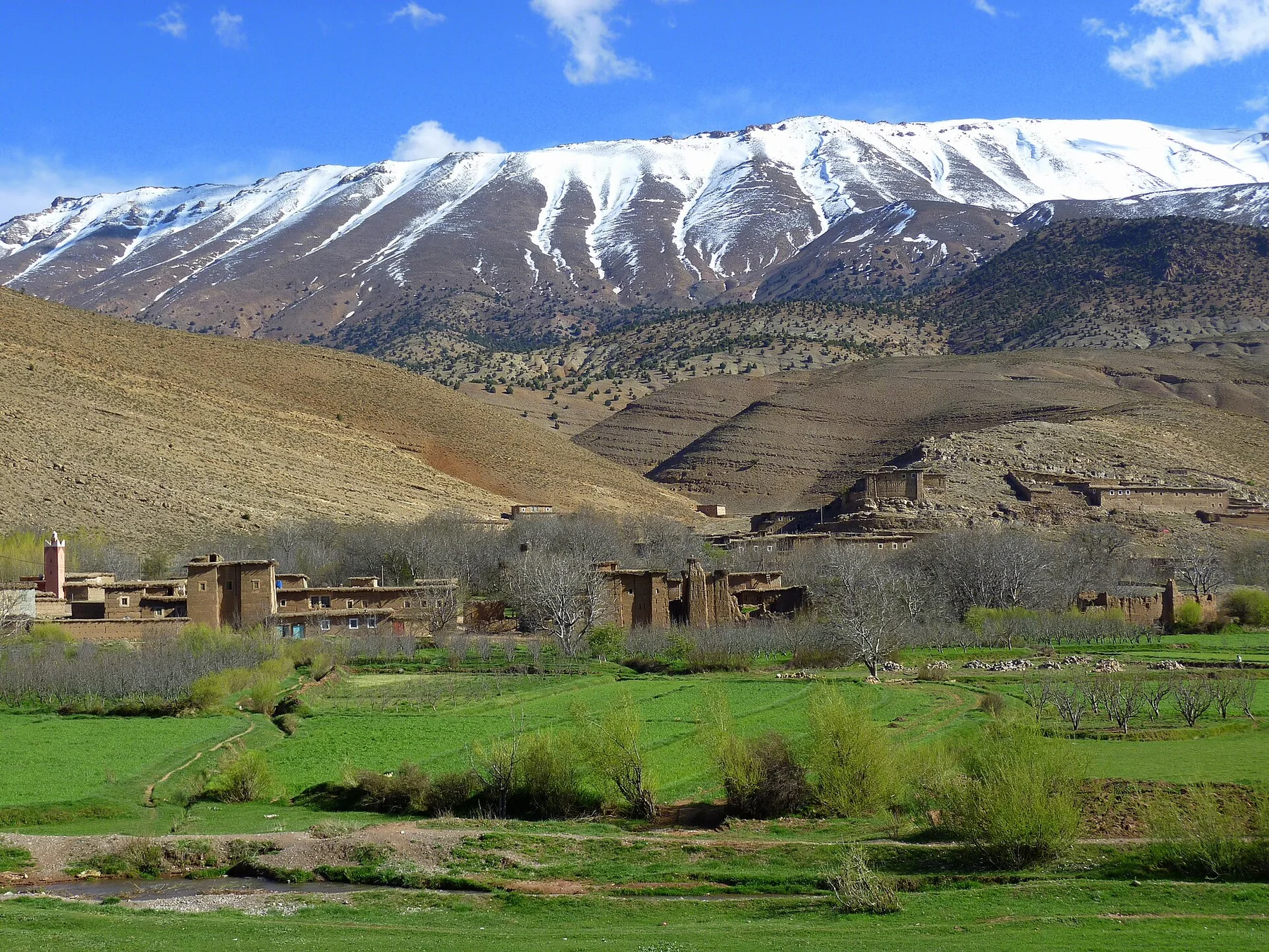
Kalahari salt plain

Makgadikgadi Pans

An immense system of salt pans and grassland where seasonal water, migration and ancient lake sediments produce radical changes in scale and colour.

Salt pansSeasonal migrationAncient lake bed

Location
Kalahari Basin, Botswana
Best window
May-Oct
Suggested stay
2-4 days
Go for
Salt-pan horizons
The reason to go

Ntwetwe and Sua pans

Large salt surfaces provide the clearest expression of the basin's ancient lake history.

Build the visit around sunrise or late afternoon. Low light reveals relief, animal movement and surface colour that disappear around midday.

Look a little closer

Worth discovering

The details that make Makgadikgadi Pans different.

Destination view
01

Ntwetwe and Sua pans

Large salt surfaces provide the clearest expression of the basin's ancient lake history.

Destination view
02

Kubu Island

A granite outcrop with baobabs rises above the flats and preserves archaeological and spiritual significance.

Destination view
03

Seasonal transformation

Rain converts parts of the white basin into shallow water and productive grassland used by migrating wildlife.

Photo journal

A closer look at Makgadikgadi Pans

3 photographs
The full story

What made Makgadikgadi Pans distinctive

An immense system of salt pans and grassland where seasonal water, migration and ancient lake sediments produce radical changes in scale and colour. The deeper story links its visible features with the people and changes behind them.

The Makgadikgadi Pans occupy a vast depression in northeastern Botswana, left by an ancient lake that once covered much of the region. During the dry season, pale salt surfaces and open grassland create enormous horizontal space. Rain changes the basin, filling shallow sections and drawing wildlife into a landscape that can appear empty only months earlier.

The familiar invitation at Makgadikgadi Pans is “Ntwetwe and Sua pans”, yet that image makes more sense when it is connected to the landform, the local economy and the changes that determined access. Large salt surfaces provide the clearest expression of the basin's ancient lake history.

Continue to practical planning
Playing On The Salt Flats (190899103)See the complete photo journal
Physical setting

The physical foundations of the place

At Makgadikgadi Pans, the physical story begins with the structure of the ground. Sua, Ntwetwe and associated pans form a network rather than one continuous flat. Salt crust, sandy islands, grassland and fossil shorelines alternate across the basin. Isolated baobabs and low rocky outcrops become major landmarks because the surrounding ground offers so few vertical reference points.

The apparent flatness is deceptive. At Makgadikgadi Pans, “Ntwetwe and Sua pans” shows how small differences in water level reorganise habitat, routes and human use. Large salt surfaces provide the clearest expression of the basin's ancient lake history.

Cultural landscape

Routes, livelihoods and belonging

The cultural layer of Makgadikgadi Pans is easiest to read in homes, fields, paths and local institutions. Communities have moved through and lived around the pans for a long period, using routes linked to water, grazing and trade. Contemporary settlements, cattle areas and tourism operations occupy the margins. Archaeological evidence adds depth to a landscape often described only in terms of wildlife or emptiness.

At Makgadikgadi Pans, “Kubu Island” should not be treated as a decorative detail. A granite outcrop with baobabs rises above the flats and preserves archaeological and spiritual significance. The feature records how construction, movement or livelihood adapted to local conditions at Makgadikgadi Pans.

Reorganisation

The modern turning point

The decisive modern change at Makgadikgadi Pans was access. At Makgadikgadi Pans, transport and visitor infrastructure made the landscape easier to reach while concentrating pressure at the few points where roads, boats or trails enter it. At Makgadikgadi Pans, the consequences are clearest where traditional use, protection and tourism occupy the same ground.

On the ground

Landmarks that carry the deeper story

At Makgadikgadi Pans, the feature “Ntwetwe and Sua pans” is one of the most useful pieces of visible evidence. Large salt surfaces provide the clearest expression of the basin's ancient lake history. For Makgadikgadi Pans, that relationship is more informative than treating the feature only as a photograph or checklist item.

At Makgadikgadi Pans, the feature “Kubu Island” is one of the most useful pieces of visible evidence. A granite outcrop with baobabs rises above the flats and preserves archaeological and spiritual significance. Its position and condition at Makgadikgadi Pans connect physical history with the way people use the place now.

At Makgadikgadi Pans, the significance of the feature “Seasonal transformation” goes beyond its visual impact. Rain converts parts of the white basin into shallow water and productive grassland used by migrating wildlife. Its position and condition at Makgadikgadi Pans connect physical history with the way people use the place now.

Living landscape

The place within its wider region

A single visit to Makgadikgadi Pans captures only one phase of its annual cycle. The dry months offer firm surfaces, clear skies and the strongest sense of the pans' scale. Summer rain may make sections inaccessible but brings water, birds and large animal movements. Conditions vary widely, so the same location can look and function like a different environment between seasons.

For Makgadikgadi Pans, the main seasonal constraint is: the strongest planning window is May-Oct. For Makgadikgadi Pans, outside it, check weather, daylight, road or ferry schedules and seasonal closures before committing to a fixed route.

For Makgadikgadi Pans, one practical detail matters: opening days can be more limiting than travel time. For Makgadikgadi Pans, check the principal site first, then organise the wider route around it.

Placed within its wider geography, Makgadikgadi Pans is not an isolated exception. For Makgadikgadi Pans, the wider context shows that, makgadikgadi connects ecologically with the Boteti River, Nxai Pan and the broader Kalahari system. For Makgadikgadi Pans, a longer circuit reveals how salt flats, grassland and river-fed habitats operate together rather than as isolated attractions.
Travel notes

Plan your visit

Time needed
2-4 days
Getting around
Walking locally, with a car or regional transport between stops
Effort
Moderate
Plan first
Access conditions, permits or a local guide
Time of day
Early morning and late afternoon
Best window
May-Oct
Traveller stories

Stories from people who have been here.

First-hand moments, practical notes and overlooked details from Makgadikgadi Pans.

Loading traveller stories…

Browse all traveller stories ↗

Keep exploring

Where next?

All place stories