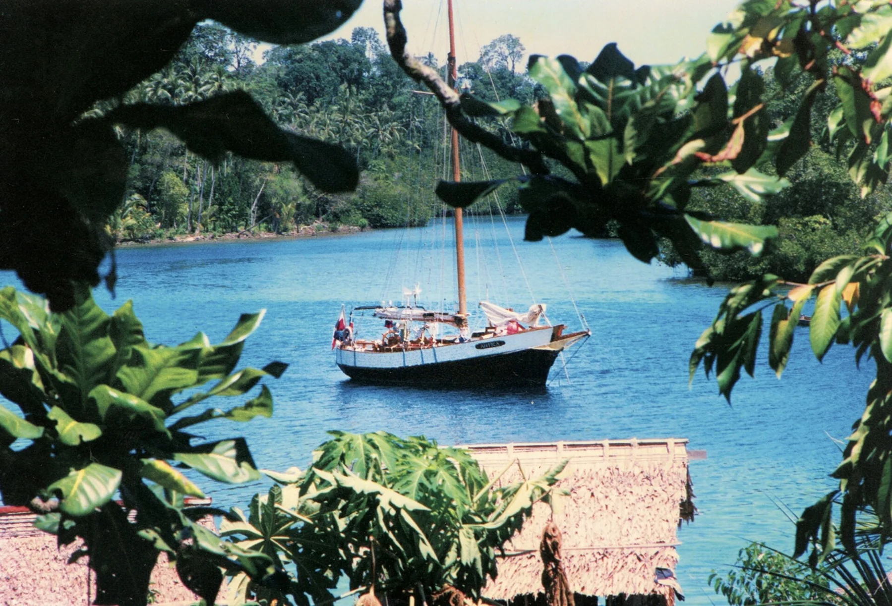
Rainforest and reef in the Bismarck Sea

Manus Island

A rainforest island and reef system north of New Guinea, with rich marine life, Second World War history and communities linked by road and boat.

ReefsRainforestIsland history

Location
Admiralty Islands, Papua New Guinea
Best window
May-Oct
Suggested stay
5-8 days
Go for
Remote Admiralty Islands travel
The reason to go

A large island beyond the usual Pacific circuit

Manus combines deep-water marine environments, forest and layered wartime and contemporary histories, but travel works only with strong local arrangements.

Stay long enough to connect Manus Island's headline landscape with one quieter local route rather than treating it as a single viewpoint.
Look a little closer

Worth discovering

The details that make Manus Island different.

Photo journal
01

Admiralty endemism

Isolation has produced bird and other species restricted to Manus and nearby islands.

Destination view
02

Seeadler Harbour history

A major natural harbour became strategically important during the Second World War and still holds maritime traces.

Destination view
03

Reefs beside steep forest

Clear water and coral systems sit immediately below dense tropical catchments and small coastal settlements.

Photo journal

A closer look at Manus Island

4 photographs
Beyond the surface

Manus Island: land, people and change

A rainforest island and reef system north of New Guinea, with rich marine life, Second World War history and communities linked by road and boat. The deeper story links its visible features with the people and changes behind them.

Manus Island is best approached through the relationship between its setting and its lived landscape. Manus combines deep-water marine environments, forest and layered wartime and contemporary histories, but travel works only with strong local arrangements.

The familiar invitation at Manus Island is “Remote Admiralty Islands travel”, yet that image makes more sense when it is connected to the landform, the local economy and the changes that determined access. At Manus Island, allow enough time to connect Manus Island's headline landscape with one quieter local route instead of reducing Manus Island to a single viewpoint.

Continue to practical planning
Temporary regional processing centre in Manus Island (8205130692)See the complete photo journal
Landform

The landform before the landmark

Understanding Manus Island starts below the visible surface. Volcanic and uplifted islands, rainforest, mangroves, lagoons and deep Bismarck Sea channels create a varied maritime province.

The map understates the role of the sea. At Manus Island, “Admiralty endemism” makes clear that water is both a boundary and the route through which settlements, wildlife and outside connections developed. Isolation has produced bird and other species restricted to Manus and nearby islands.

Lives and livelihoods

People, work and memory

Manus communities belong to the Admiralty Islands' Austronesian world, with seafaring, exchange and specialised production linking lagoon, reef and inland villages. Colonial Germany incorporated the islands into German New Guinea, followed by Australian administration after the First World War.

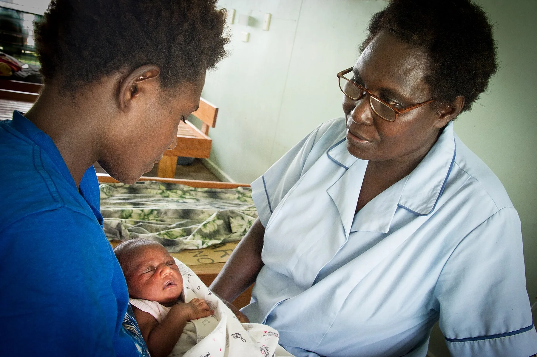
Japan occupied Manus during the Second World War and developed an airfield and base. Allied forces captured the island in 1944 during the Admiralty Islands campaign and built the vast Seeadler Harbor naval complex. Lombrum later became a Papua New Guinean naval base and, in the twenty-first century, the site of an Australian-funded offshore detention centre.

Reorganisation

How access and attention changed the place

Military and detention infrastructure repeatedly imposed outside strategic priorities on local land and waters. Wrecks, runways, roads and bases now coexist with clan-owned coast and villages, making Manus a place where Pacific community history and global geopolitics overlap directly.

Field notes

Three details that explain the whole place

At Manus Island, the feature “Admiralty endemism” is best understood as part of the surrounding system rather than an isolated stop. Isolation has produced bird and other species restricted to Manus and nearby islands. Within Manus Island, the feature explains why this destination differs from nearby landscapes.

At Manus Island, the feature “Seeadler Harbour history” provides a precise clue to how the landscape works. A major natural harbour became strategically important during the Second World War and still holds maritime traces. Within Manus Island, the feature explains why this destination differs from nearby landscapes.

Look closely at the feature “Reefs beside steep forest” in Manus Island; it carries information that a panoramic view can miss. Clear water and coral systems sit immediately below dense tropical catchments and small coastal settlements. Within Manus Island, the feature explains why this destination differs from nearby landscapes.

Continuity

The current chapter

Manus Island changes through the year because weather and biological cycles rearrange what can be seen and used. The southeast-trade period is often somewhat drier, though rain remains frequent. Boat travel depends on local wind and swell.

For Manus Island, the most useful time of day is: early reef and island departures.

For Manus Island, plan this first: local contact, boat and accommodation.

Placed within its wider geography, Manus Island is not an isolated exception. For Manus Island, the wider context shows that, los Negros and the wider Admiralty Islands extend the journey through smaller communities, reefs and wartime sites.

Chronology

Key dates

  1. Admiralty exchange networks

    Manus seafarers connected islands through trade, marriage, fishing and specialised crafts.

  2. Admiralty Islands campaign

    Allied forces seized Manus and turned Seeadler Harbor into a major Pacific naval base.

  3. Offshore detention centre

    Australia-funded immigration detention brought a new and contested strategic use to Lombrum.

In context

Get to know the place

The landscape

Volcanic and uplifted islands, rainforest, mangroves, lagoons and deep Bismarck Sea channels create a varied maritime province.

People and place

Manus languages, clan land, fishing and regional administration centre on Lorengau, while recent detention-centre history remains politically and socially significant.

Seasonal character

The southeast-trade period is often somewhat drier, though rain remains frequent. Boat travel depends on local wind and swell.

Beyond the main view

Los Negros and the wider Admiralty Islands extend the journey through smaller communities, reefs and wartime sites.

Travel notes

Plan your visit

Time needed
5-8 days
Getting around
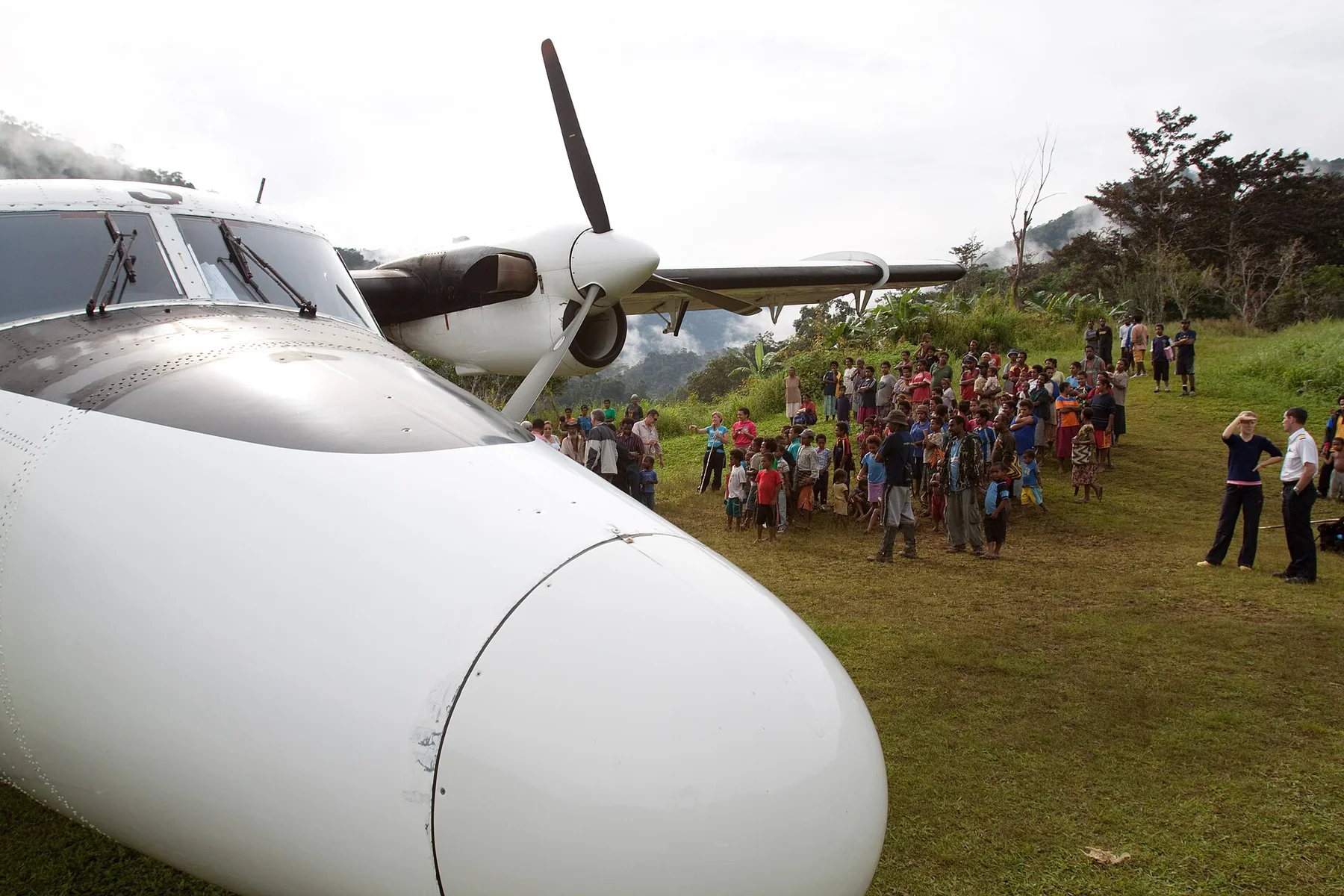
Domestic flight, local vehicle and boat
Effort
Moderate
Plan first
Local contact, boat and accommodation
Time of day
Early reef and island departures
Best window
May-Oct
Keep exploring

Where next?

All place stories