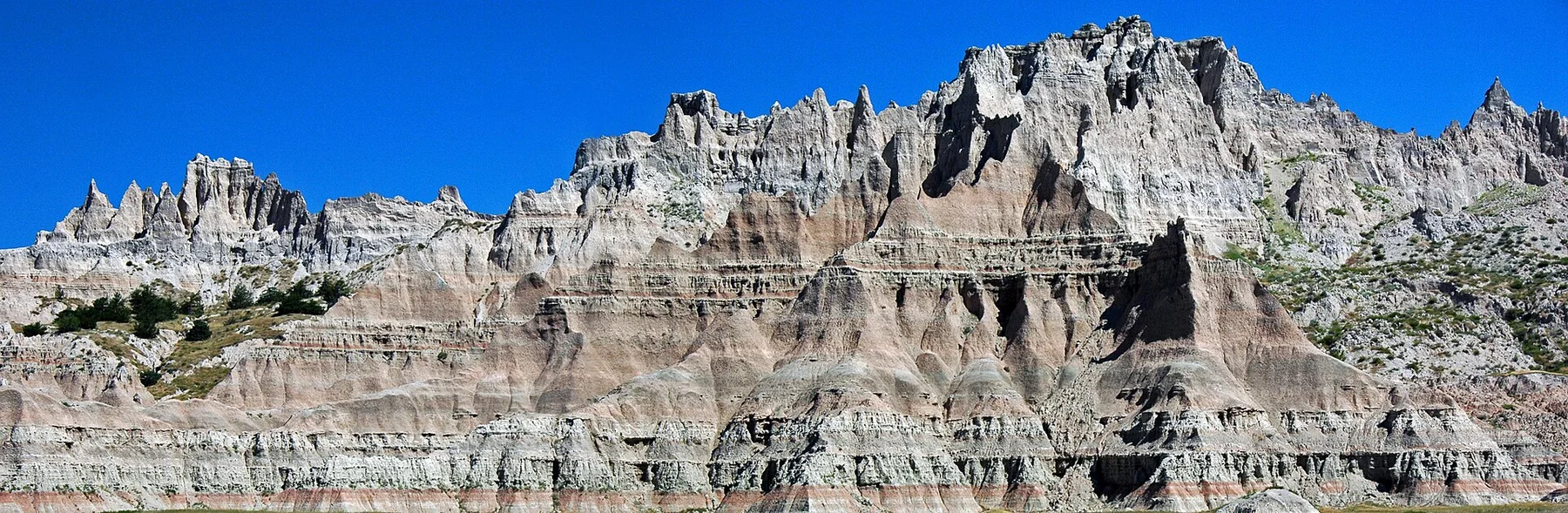
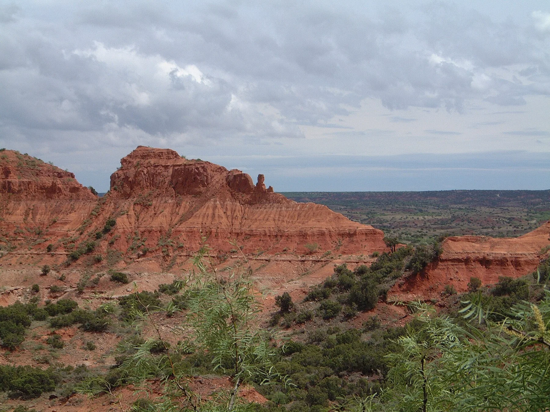
The isolated rock tower is the canyon's clearest objective and makes the scale of the surrounding walls easier to understand.
Begin before heat and hard overhead light; save the widest overlook for late afternoon if access and trail time allow.
Look a little closer
Worth discovering
The details that make Palo Duro Canyon different.
Photo journal
01
Lighthouse Trail
A popular route ends beneath the signature rock formation.
Photo journal
02
Capitol Peak views
Layered walls show the canyon's colour and depth.
Destination view
03
Canyon floor road
The descent from rim to floor reveals the sudden change in elevation.
Photo journal
A closer look at Palo Duro Canyon
7 photographs
01Palo Duro Canyon — view 102Palo Duro lighthouse03Lighthouse Palo Duro04Palo Duro Canyon in Amarillo, Texas05Untitled - State Parks (NBY 432748)06Untitled - State Parks (NBY 432749)07Capitol Peak Palo Duro
Origins and change
What made Palo Duro Canyon distinctive
A huge branching canyon cuts beneath the flat High Plains with colourful rock layers and open trails. Its character becomes clearer when geology, settlement and modern protection are considered together.
4 min readTexas Panhandle, United States
Palo Duro Canyon is centred on Texas Panhandle, where a huge branching canyon cuts beneath the flat High Plains with colourful rock layers and open trails. The strongest reason to make the journey is to reach the lighthouse formation before midday heat.
Many visits to Palo Duro Canyon begin with the experience described as “Reach the Lighthouse formation before midday heat”. The more revealing question is why it exists here, how people used the surrounding ground and what remains visible from earlier phases. The isolated rock tower is the canyon's clearest objective and makes the scale of the surrounding walls easier to understand.
Before roads, settlements or protected-area boundaries, the terrain of Palo Duro Canyon set the basic terms. Erosion exposes rock, cliffs and drainage patterns that are easiest to understand from both the rim and the lower route. Heat and shade can differ sharply within a short distance.
Erosion and scarcity give small features unusual weight. At Palo Duro Canyon, “Lighthouse Trail” exposes the processes that cut, transported or concentrated the visible materials. A popular route ends beneath the signature rock formation.
02
Lives and livelihoods
The cultural layer of the place
Palo Duro Canyon was a refuge and camp landscape for Comanche, Kiowa and other Plains peoples. In 1874, US troops under Ranald Mackenzie attacked camps in the canyon during the Red River War and destroyed captured horses, accelerating Indigenous confinement.
The JA Ranch was established soon afterward and used the canyon for large-scale cattle operations. During the 1930s, Civilian Conservation Corps workers built roads, trails and stone facilities that still define the state park.
03
Turning point
The change that redefined the place
The canyon's visitor infrastructure emerged from Depression-era public works, while interpretation has slowly shifted from pioneer celebration toward the violence that opened the land to ranching.
04
Field notes
Landmarks that carry the deeper story
At Palo Duro Canyon, the feature “Lighthouse Trail” is best understood as part of the surrounding system rather than an isolated stop. A popular route ends beneath the signature rock formation. At Palo Duro Canyon, the detail links local scale with the wider regional pattern.
Start with the feature “Capitol Peak views”, because it condenses a much larger part of the story of Palo Duro Canyon. Layered walls show the canyon's colour and depth. Within Palo Duro Canyon, the feature explains why this destination differs from nearby landscapes.
At Palo Duro Canyon, the feature “Canyon floor road” is one of the most useful pieces of visible evidence. The descent from rim to floor reveals the sudden change in elevation. At Palo Duro Canyon, the detail links local scale with the wider regional pattern.
05
Season and scale
The current chapter
Palo Duro Canyon changes through the year because weather and biological cycles rearrange what can be seen and used. For Palo Duro Canyon, the most reliable visiting window is Mar-May, Sep-Nov.
For Palo Duro Canyon, the stated visiting window is Mar-May, Sep-Nov, but its practical meaning depends on local weather, water and transport rather than the calendar alone.
Placed within its wider geography, Palo Duro Canyon is not an isolated exception. Beyond the best-known image of Palo Duro Canyon feature, Palo Duro Canyon matters because capitol peak views and canyon floor road place the destination inside a broader regional story.
Chronology
Key dates
Plains refuge and bison country
Indigenous communities used the canyon's water and shelter.
Battle of Palo Duro Canyon
US forces destroyed villages and horse herds during the Red River War.
CCC builds the park
Federal relief crews created roads, cabins and trails for public recreation.
Travel notes
Plan your visit
Time needed
2-3 days
Getting around
Road access and hiking
Effort
Moderate
Plan first
Heat, trail exposure and permits if required
Time of day
Sunrise or late afternoon
Best window
Mar-May, Sep-Nov
Traveller stories
Stories from people who have been here.
First-hand moments, practical notes and overlooked details from Palo Duro Canyon.