Main ridge
The long limestone crest gives the park its unmistakable profile.
Start early and make this the first exposed stop of the day. Keep a lower route ready if cloud, heat, wind or trail conditions change during May-Oct.
A narrow limestone ridge rises above forest, hay meadows and mountain villages in one of Romania’s most legible Carpathian landscapes.
The long limestone crest gives the park its unmistakable profile.
Start early and make this the first exposed stop of the day. Keep a lower route ready if cloud, heat, wind or trail conditions change during May-Oct.
The details that make Piatra Craiului different.
The long limestone crest gives the park its unmistakable profile.
Narrow rock walls provide a lower-level entrance into the mountain system.
Village meadows beneath the ridge connect scenery with lived rural landscapes.
A narrow limestone ridge rises above forest, hay meadows and mountain villages in one of Romania’s most legible Carpathian landscapes. Its character becomes clearer when geology, settlement and modern protection are considered together.
Piatra Craiului occupies a compact mountain range between Brasov and the upper Dambovita valleys. A narrow limestone ridge rises above forest, hay meadows and mountain villages in one of Romania’s most legible Carpathian landscapes. The range lies between the Bran corridor, Fagaras Mountains and Bucegi, allowing a wider understanding of southern Transylvanian mountain settlement.
Many visits to Piatra Craiului begin with the experience described as “Main ridge”. The more revealing question is why it exists here, how people used the surrounding ground and what remains visible from earlier phases. The long limestone crest gives the park its unmistakable profile.
Continue to practical planningAt Piatra Craiului, the form of the landscape explains many of the choices that came later. The main ridge forms a pale, serrated wall, while lower slopes hold beech and spruce forest, karst gorges and open meadows.
The skyline is only the upper edge of a larger system. At Piatra Craiului, “Main ridge” connects the high ground with valleys, settlement and the movement of water below. The long limestone crest gives the park its unmistakable profile.
Piatra Craiului has been shaped as much by livelihoods and movement as by natural processes. Villages such as Magura and Pestera occupy rolling ground beneath the ridge, where haymaking, livestock and guesthouses remain visible parts of the local economy.
At Piatra Craiului, the feature described as “Zarnesti Gorge” offers a second line of evidence. Narrow rock walls provide a lower-level entrance into the mountain system. Within Piatra Craiului, it shows how local knowledge and practical use became embedded in the landscape.
The modern identity of Piatra Craiului emerged as livelihoods, transport and outside attention changed their balance. At Piatra Craiului, the present destination was assembled from places that previously served practical, seasonal or community purposes. At Piatra Craiului, that transition remains visible in the contrast between older working features and visitor infrastructure.
At Piatra Craiului, the feature “Main ridge” is one of the most useful pieces of visible evidence. The long limestone crest gives the park its unmistakable profile. Within Piatra Craiului, it is both an attraction and a record of the processes described above.
Look closely at the feature “Zarnesti Gorge” in Piatra Craiului; it carries information that a panoramic view can miss. Narrow rock walls provide a lower-level entrance into the mountain system. At Piatra Craiului, the detail links local scale with the wider regional pattern.
At Piatra Craiului, the feature “Magura and Pestera” is best understood as part of the surrounding system rather than an isolated stop. Village meadows beneath the ridge connect scenery with lived rural landscapes. For Piatra Craiului, that relationship is more informative than treating the feature only as a photograph or checklist item.
A single visit to Piatra Craiului captures only one phase of its annual cycle. Late spring through early autumn suits lower routes; exposed ridge sections demand stable weather, and winter conditions are substantially more technical.
For Piatra Craiului, the main seasonal constraint is: the strongest planning window is May-Oct. For Piatra Craiului, outside it, check weather, daylight, road or ferry schedules and seasonal closures before committing to a fixed route.
For Piatra Craiului, one practical detail matters: cloud, wind and trail conditions can change quickly. For Piatra Craiului, put the highest or most exposed stop first and keep a lower-level alternative.
Placed within its wider geography, Piatra Craiului is not an isolated exception. For Piatra Craiului, the wider context shows that, the range lies between the Bran corridor, Fagaras Mountains and Bucegi, allowing a wider understanding of southern Transylvanian mountain settlement.
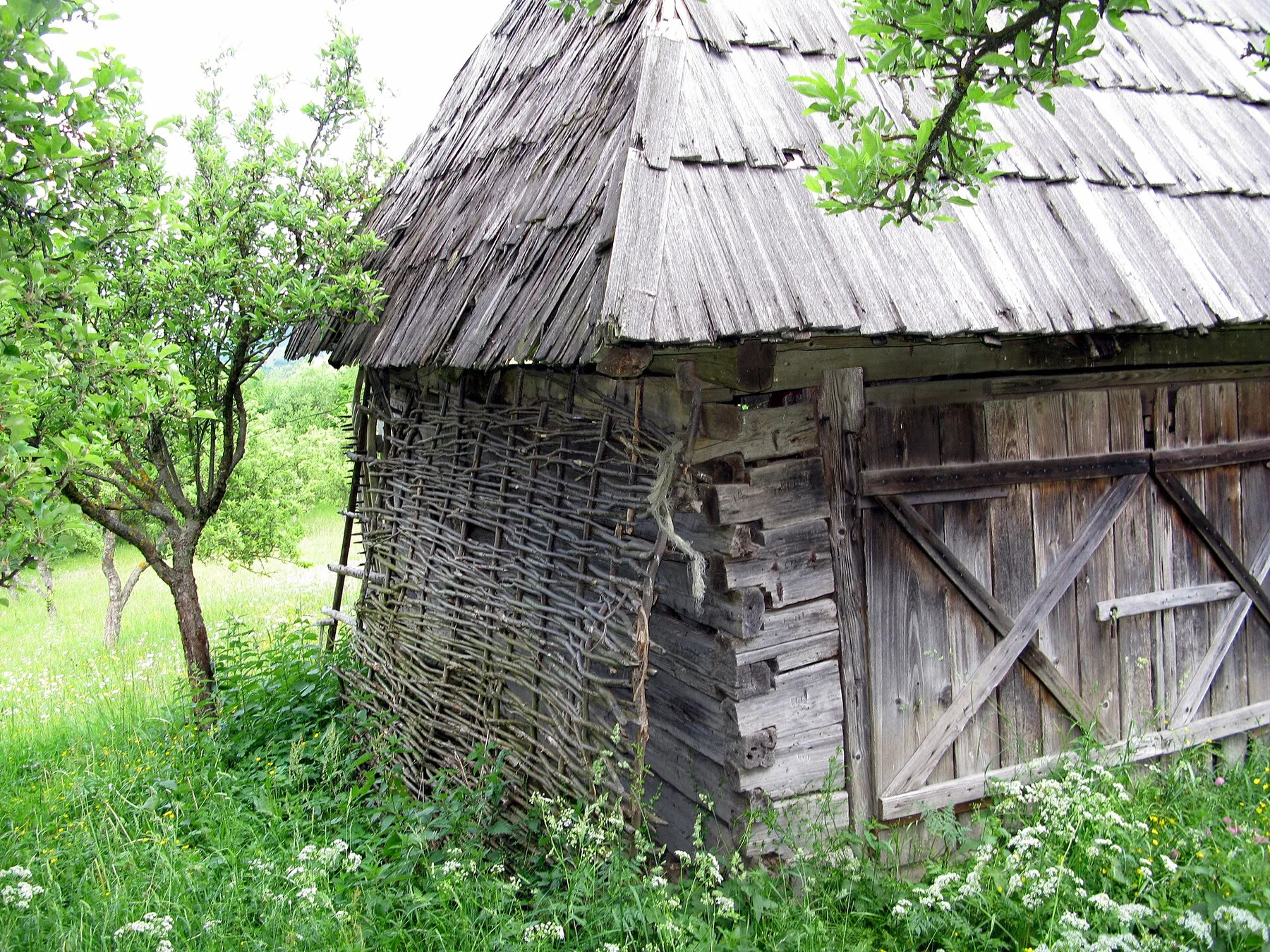
Wooden villages, hay meadows, forested ridges and carved churches form one of Romania’s most distinctive inhabited mountain landscapes.
Explore this place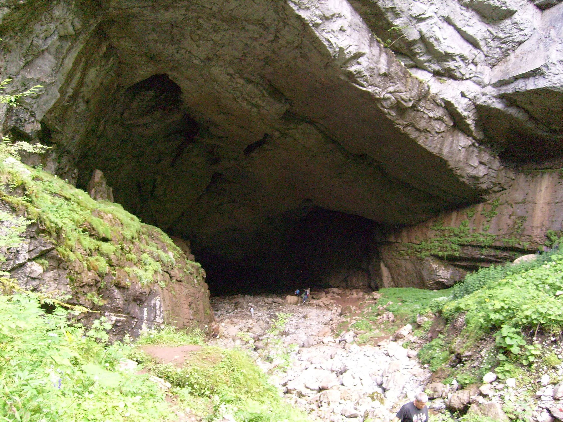
Karst plateaus, caves, forests and dispersed hamlets form an inhabited mountain landscape in Romania's Western Carpathians.
Explore this place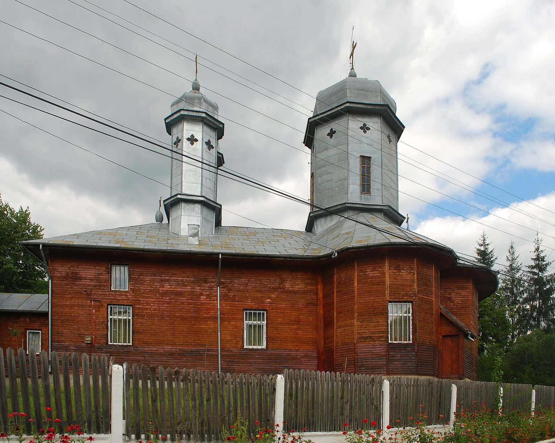
Mud volcanoes, salt landforms, folded hills and hillside villages create a compact geological route through Romania's Subcarpathians.
Explore this place