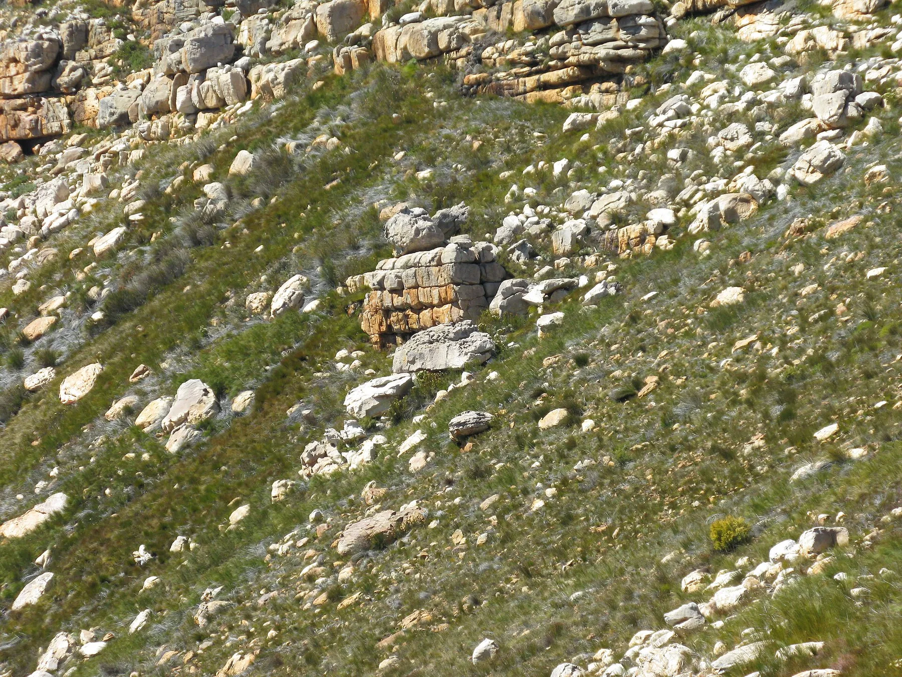
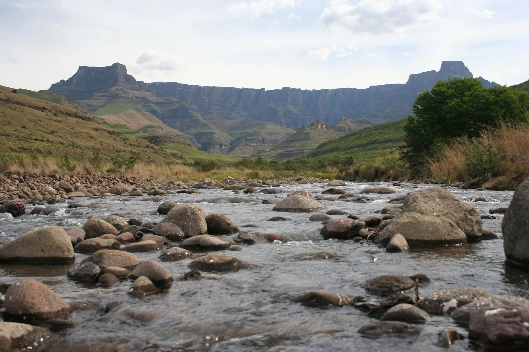
At Richtersveld, season is part of the landscape history, not merely a planning detail. Autumn and spring offer more moderate temperatures for desert travel. Winter nights can be cold, while summer heat is severe and limits activity across exposed valleys. Flowering and plant visibility depend strongly on local rainfall, so each season can produce very different botanical conditions.
For Richtersveld, the main seasonal constraint is: the strongest planning window is Mar-May, Aug-Oct. For Richtersveld, outside it, check weather, daylight, road or ferry schedules and seasonal closures before committing to a fixed route.
For Richtersveld, one practical detail matters: distances, fuel, food and mobile coverage can be less predictable than the map suggests. For Richtersveld, carry offline maps and keep a margin in the schedule.
Placed within its wider geography, Richtersveld is not an isolated exception. Richtersveld connects with the Ai-Ais landscape in Namibia, the lower Orange River and the Namaqualand flower region farther south. For Richtersveld, together they form a transboundary desert system where geology, fog, river water and mobile pastoral culture create one of southern Africa's most distinctive environments.