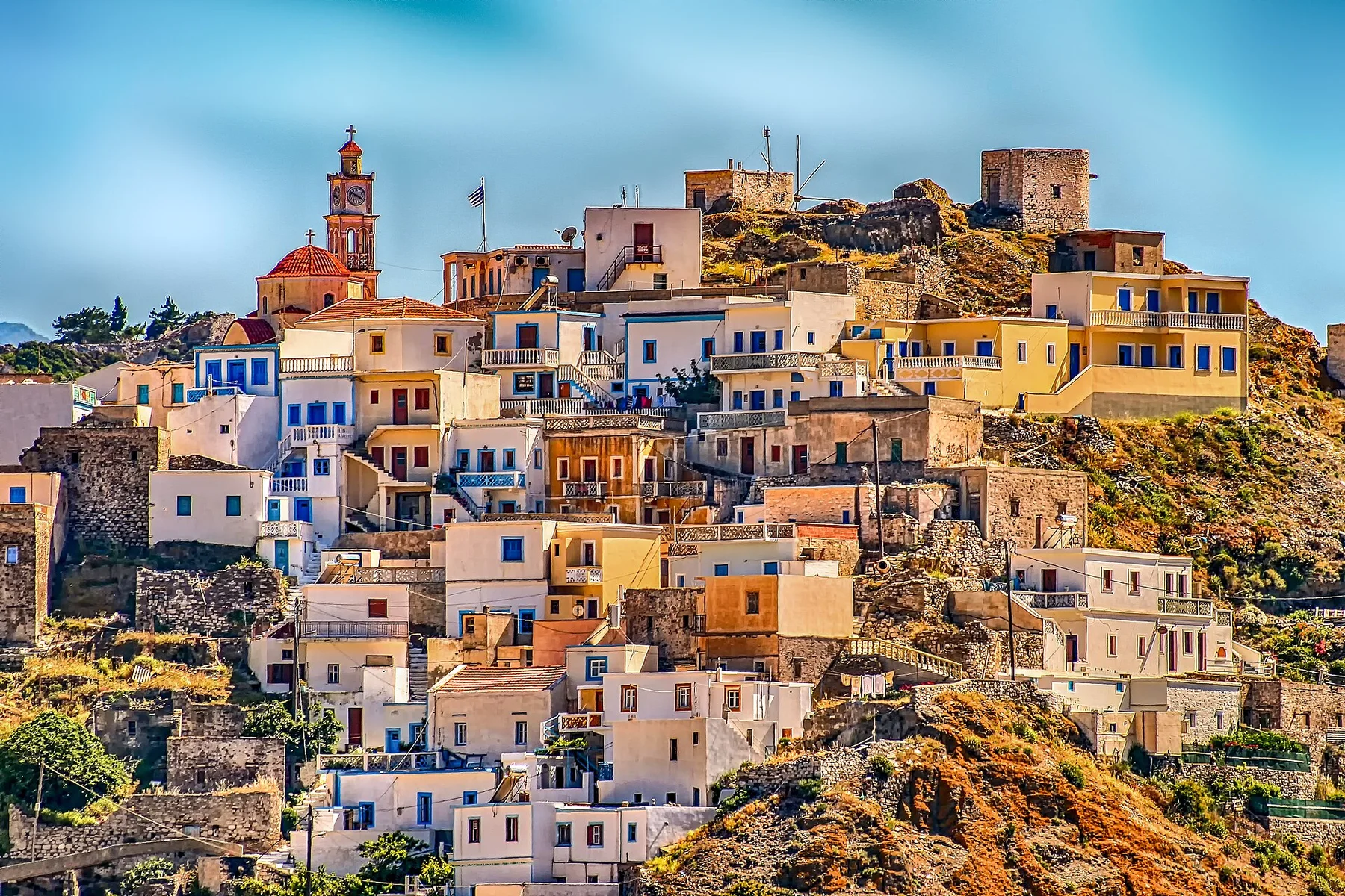
Long gorge descent

Samaria Gorge

A long descent crosses the White Mountains and narrows into the Iron Gates before reaching the Libyan Sea.

Long gorge descentDramatic routeViewpointsXyloskalo descentSamaria village

Location
Crete, Greece
Best window
May-Oct
Suggested stay
Full day
Go for
Mountain-to-sea gorge crossing
The reason to go

Walk from the high plateau to Agia Roumeli

The route begins in mountain forest, passes an abandoned settlement and finishes through walls only a few metres apart before reaching the sea.

Arrange the return ferry and bus before entering; the gorge is one-way in practical terms.

Look a little closer

Worth discovering

The details that make Samaria Gorge different.

Destination view
01

Xyloskalo descent

A steep switchback path drops from the Omalos plateau into pine forest.

Photo journal
02

Samaria village

Ruins and water points mark the midpoint of the long descent.

Destination view
03

Iron Gates

The gorge narrows dramatically between high rock walls near the lower end.

Photo journal

A closer look at Samaria Gorge

11 photographs
The full story

Samaria Gorge: the story behind the landscape

A long descent crosses the White Mountains and narrows into the Iron Gates before reaching the Libyan Sea. This account follows the forces, communities and decisions that made the present landscape.

Samaria Gorge is centred on Crete, where a long descent crosses the White Mountains and narrows into the Iron Gates before reaching the Libyan Sea. The strongest reason to make the journey is to walk from the high plateau to Agia Roumeli.

The strongest visual shorthand for Samaria Gorge is the experience described as “Walk from the high plateau to Agia Roumeli”. Behind it lies a more complex relationship between physical processes, settlement and the modern idea of the place as a destination. The route begins in mountain forest, passes an abandoned settlement and finishes through walls only a few metres apart before reaching the sea.

Continue to practical planning
Kilometer mark in Samaria GorgeSee the complete photo journal
Origins

Why the terrain has this form

Understanding Samaria Gorge starts below the visible surface. Changes in height, rock, water and exposure make the sequence important: the approach, the most engineered or natural passage and the final overlook each reveal a different part of Crete.

The path is inseparable from the terrain it crosses. At Samaria Gorge, “Xyloskalo descent” turns engineering or trail logic into something visible underfoot. A steep switchback path drops from the Omalos plateau into pine forest.

Lives and livelihoods

Settlement, movement and local knowledge

Samaria was not always an empty national-park corridor. The gorge contained the village of Samaria, chapels, mills and seasonal routes used by shepherds and residents of the White Mountains.

When the national park was established in 1962, the village was evacuated and permanent settlement ended inside the protected core. Houses and churches remain along the route, turning the walk into a passage through a recently inhabited landscape as well as a natural gorge.

Change

How access and attention changed the place

Protection helped safeguard the Cretan wild goat and the gorge ecosystem, but it also replaced everyday residence with seasonal visitor management, ranger stations and a strictly controlled exit toward the south coast.

On the ground

What to read in the landscape

At Samaria Gorge, the feature “Xyloskalo descent” is one of the most useful pieces of visible evidence. A steep switchback path drops from the Omalos plateau into pine forest. At Samaria Gorge, it gives a concrete reference point for reading change rather than merely collecting viewpoints.

At Samaria Gorge, the feature “Samaria village” is best understood as part of the surrounding system rather than an isolated stop. Ruins and water points mark the midpoint of the long descent. For Samaria Gorge, that relationship is more informative than treating the feature only as a photograph or checklist item.

At Samaria Gorge, the feature “Iron Gates” provides a precise clue to how the landscape works. The gorge narrows dramatically between high rock walls near the lower end. Within Samaria Gorge, it is both an attraction and a record of the processes described above.

Season and scale

Why the landscape still feels dynamic

At Samaria Gorge, light, water and temperature reveal different structures at different times of year. For Samaria Gorge, the most reliable visiting window is May-Oct.

For Samaria Gorge, one practical detail matters: the gorge closes in unsafe weather and requires a long rocky walk. For Samaria Gorge, check official opening and ferry schedules.

For Samaria Gorge, the most useful visiting period is: earliest entry available.

Placed within its wider geography, Samaria Gorge is not an isolated exception. Beyond the best-known image of Samaria Gorge crossing, Samaria Gorge is useful because samaria village and iron gates place the route inside a broader landscape story.

Chronology

Key dates

  1. A lived-in mountain corridor

    Samaria village and scattered religious sites occupied the gorge amid pastoral and local travel routes.

  2. National park established

    Residents left the village as the gorge became a protected area.

  3. A seasonal one-way crossing

    Opening dates, ferry connections and fire or heat closures govern access to the former inhabited valley.

Travel notes

Plan your visit

Time needed
Full day
Getting around
One-way hike with bus and ferry logistics
Effort
Demanding; long rocky descent
Plan first
Opening status, footwear and ferry connection
Time of day
Earliest entry available
Best window
May-Oct
Traveller stories

Stories from people who have been here.

First-hand moments, practical notes and overlooked details from Samaria Gorge.

Loading traveller stories…

Browse all traveller stories ↗

Keep exploring

Where next?

All place stories