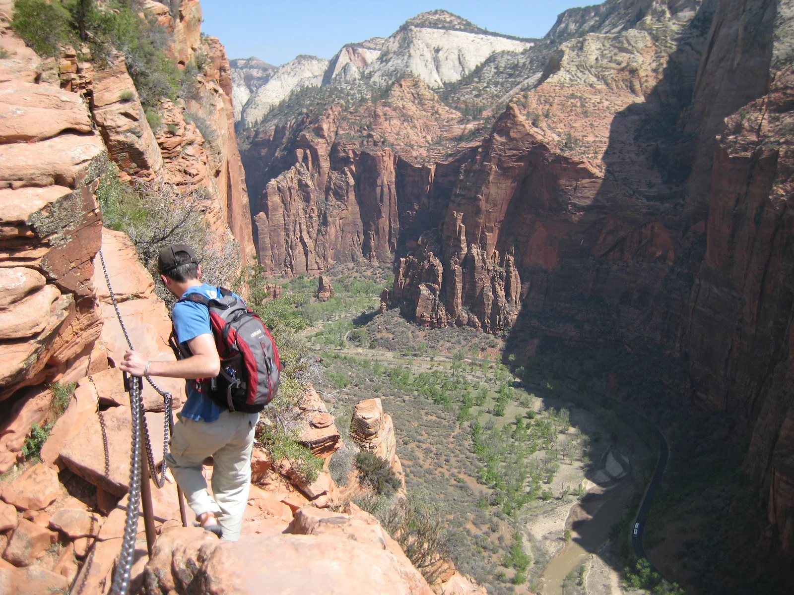
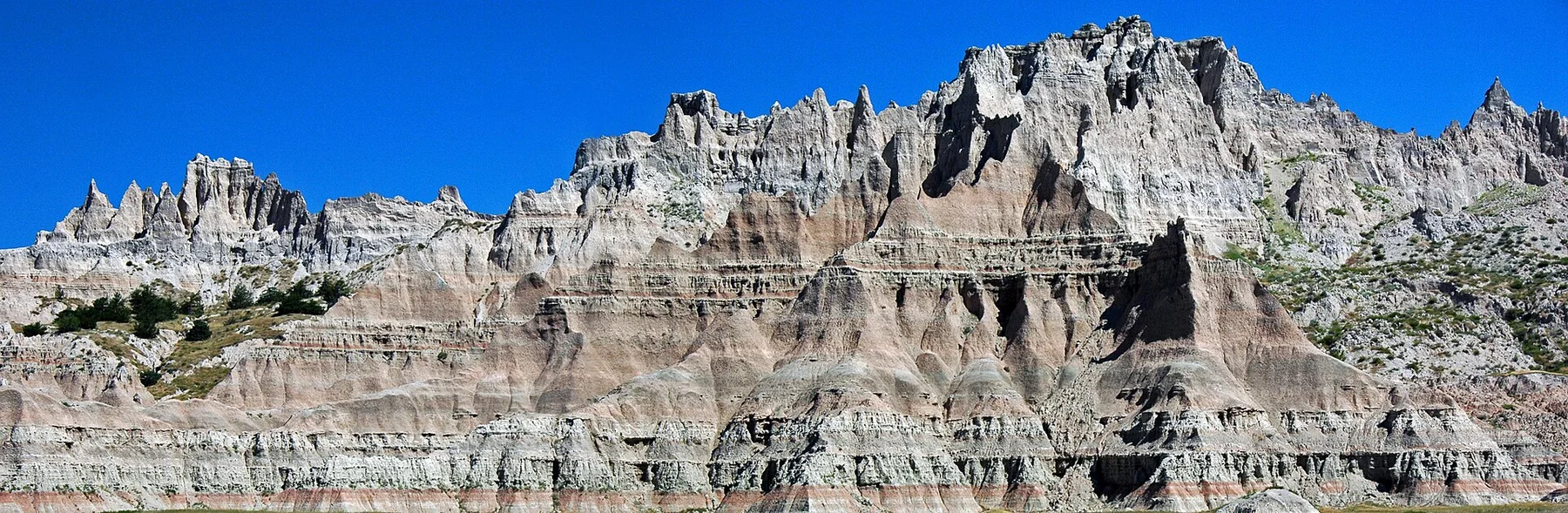
Walk the old trail beneath the bluff, then drive to the summit
Seeing the same landmark from wagon level and from above connects the physical obstacle with the migration history it shaped.
Start with the signature stop, then leave enough time to follow one secondary route without rushing between disconnected photo stops.
Look a little closer
Worth discovering
The details that make Scotts Bluff different.
Photo journal
01
Saddle Rock Trail
A path climbs from visitor centre to summit.
Photo journal
02
Oregon Trail ruts
Historic traces survive along the valley route.
Destination view
03
Summit road
Tunnels and overlooks provide an accessible high view.
Photo journal
A closer look at Scotts Bluff
9 photographs
01Rockslide between Tunnel02Scotts Bluff — view 203Great platte river road with trails marker04Scotts Bluff National Monument, Nebraska (8daba67d-0fee-4cb1-bce6-38bce9d193d0)05Panorama of Gering and Scottsbluff Nebraska viewed from Scotts Bluff National Monument06Scotts Bluff (south) P718028907Trail markers08Scotts Bluff (south) P718028809Large natural bridge in the badlands area - NARA - 286046
Beyond the surface
The landscape memory of Scotts Bluff
A sandstone escarpment rises above the North Platte Valley and the historic overland-trail corridor. This account follows the forces, communities and decisions that made the present landscape.
4 min readWestern Nebraska, United States
Scotts Bluff is centred on Western Nebraska, where a sandstone escarpment rises above the North Platte Valley and the historic overland-trail corridor. The strongest reason to make the journey is to walk the old trail beneath the bluff, then drive to the summit.
The familiar invitation at Scotts Bluff is “Walk the old trail beneath the bluff, then drive to the summit”, yet that image makes more sense when it is connected to the landform, the local economy and the changes that determined access. Seeing the same landmark from wagon level and from above connects the physical obstacle with the migration history it shaped.
At Scotts Bluff, the physical story begins with the structure of the ground. The wider landscape is best understood through a sequence of short routes rather than one viewpoint.
Movement is the organising idea at Scotts Bluff. “Saddle Rock Trail” explains how the route negotiates an obstacle that would otherwise divide the landscape. A path climbs from visitor centre to summit.
02
Lives and livelihoods
Routes, livelihoods and belonging
Scotts Bluff was a major landmark for Indigenous peoples, fur traders and emigrants following the Platte River corridor. Its English name recalls Hiram Scott, a fur-company employee whose death nearby became the subject of competing stories.
Hundreds of thousands of travellers on the Oregon, California and Mormon trails passed the bluff in the mid-nineteenth century. Wagon routes shifted from Robidoux Pass to Mitchell Pass, where wheel ruts and trail alignments remain visible.
03
Reorganisation
From local landscape to protected destination
National monument status in 1919 protected both geology and migration history. A road and tunnels later carried cars to the summit, replacing the emigrant view from below with a modern overlook of the entire corridor.
04
Visible evidence
Landmarks that carry the deeper story
At Scotts Bluff, the feature “Saddle Rock Trail” provides a precise clue to how the landscape works. A path climbs from visitor centre to summit. For Scotts Bluff, that relationship is more informative than treating the feature only as a photograph or checklist item.
At Scotts Bluff, the significance of the feature “Oregon Trail ruts” goes beyond its visual impact. Historic traces survive along the valley route. At Scotts Bluff, the detail links local scale with the wider regional pattern.
At Scotts Bluff, the significance of the feature “Summit road” goes beyond its visual impact. Tunnels and overlooks provide an accessible high view. For Scotts Bluff, that relationship is more informative than treating the feature only as a photograph or checklist item.
05
Living landscape
Why the landscape still feels dynamic
Scotts Bluff changes through the year because weather and biological cycles rearrange what can be seen and used. For Scotts Bluff, the most reliable visiting window is Apr-Oct.
For Scotts Bluff, the stated visiting window is Apr-Oct, but its practical meaning depends on local weather, water and transport rather than the calendar alone.
Placed within its wider geography, Scotts Bluff is not an isolated exception. Beyond the best-known image of Scotts Bluff feature, Scotts Bluff matters because oregon trail ruts and summit road place the destination inside a broader regional story.
Chronology
Key dates
Platte River landmark
Indigenous routes followed water and bison movement through the valley.
Overland migration
Wagons passed through Mitchell Pass on routes to the American West.
National monument established
Federal protection preserved the bluff and trail landscape.
Travel notes
Plan your visit
Time needed
2-3 days
Getting around
Walking locally, with road or water links between stops
Effort
Easy to moderate
Plan first
Opening days, local access and accommodation
Time of day
Morning and late afternoon
Best window
Apr-Oct
Traveller stories
Stories from people who have been here.
First-hand moments, practical notes and overlooked details from Scotts Bluff.