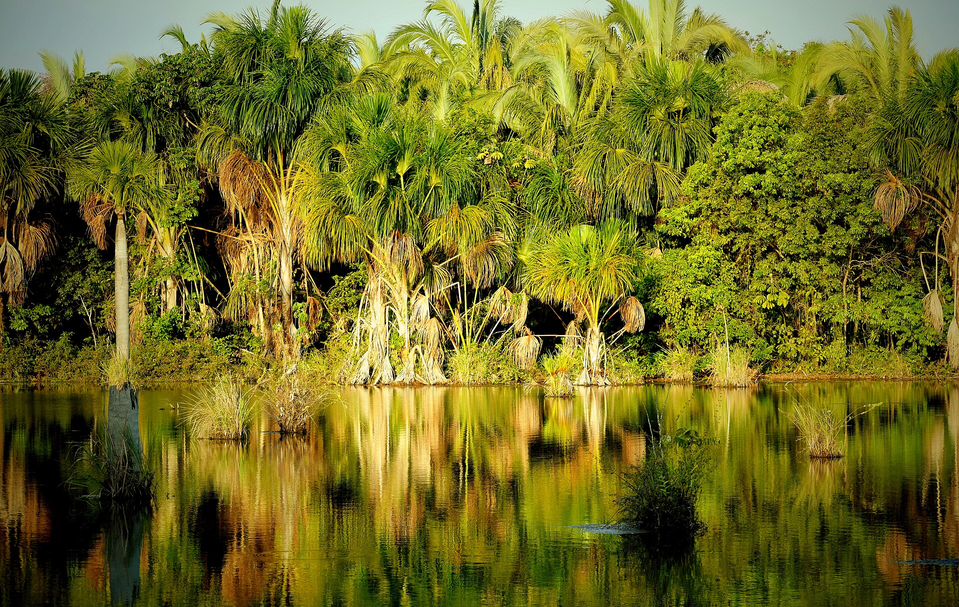
A sequence of forest waterfalls includes one of the state's highest.
Destination view
03
Limestone plateau
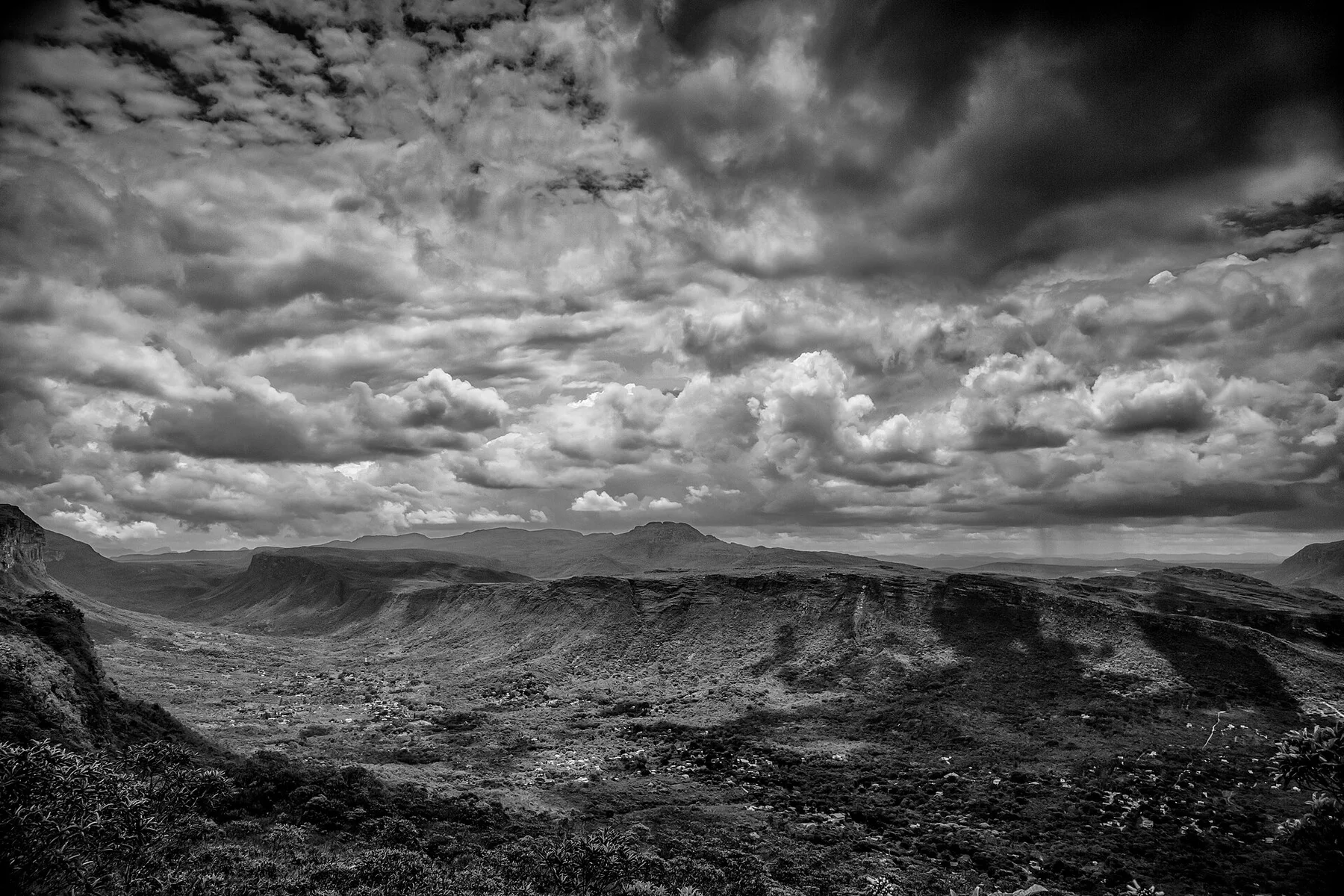
Karst geology controls springs, caves and water colour.
Photo journal
A closer look at Serra da Bodoquena
11 photographs
01Cachoeira do rio Salobra02Capela na Nascente Azul vista frontal03Serra da Bodoquena — view 304Cachoeira na fazenda Ceita Corê05Capela na Nascente Azul06Pintura no teto da capela da Nascente Azul07Árvore na cachoeira do rio Salobra08Cachoeira do Mirante na fazenda Ceita Corê09Cachoeira Boca da Onça vista de baixo10Cânion do rio salobra11Gruta do lago azul
Origins and change
Serra da Bodoquena beyond the first view
Limestone hills, clear rivers and forested waterfalls form the less urban side of the Bonito region. This account follows the forces, communities and decisions that made the present landscape.
4 min readMato Grosso do Sul, Brazil
Serra da Bodoquena is centred on Mato Grosso do Sul, where limestone hills, clear rivers and forested waterfalls form the less urban side of the Bonito region. The strongest reason to make the journey is to snorkel a spring river where the bottom remains visible for hundreds of metres.
Visitors often encounter Serra da Bodoquena through the idea of “Snorkel a spring river where the bottom remains visible for hundreds of metres”, but the destination is more than that single scene. Its landscape carries evidence of work, movement, adaptation and environmental change. Mineral-rich water creates exceptional clarity, turning a gentle float into a continuous view of fish, plants and pale limestone.
At Serra da Bodoquena, the physical story begins with the structure of the ground. The river is both the visual centre and the practical route. Rapids, springs, cataracts or floodplains create a sequence that is lost when the visit is reduced to one roadside viewpoint.
The visible shoreline or channel at Serra da Bodoquena is only one stage in a larger cycle. “Rio da Prata region” demonstrates how flow, season and terrain interact. Clear-water flotation follows spring-fed channels.
02
Settlement and memory
The human landscape behind the scenery
The Bodoquena plateau is a limestone landscape of clear rivers, caves and forest within territories connected to Terena, Kadiweu and other Indigenous peoples. Ranching, extraction and settlement expanded across Mato Grosso do Sul during the twentieth century.
Tourism around Bonito developed through private farms and controlled access to springs, while Serra da Bodoquena National Park was created in 2000 to protect broader catchments and remaining Atlantic forest.
03
Change
From local landscape to protected destination
The region became a Brazilian model for voucher-based visitor limits at individual attractions. That success depends on watershed protection beyond the famous pools, where agriculture and sediment can quickly reduce water clarity.
04
Visible evidence
Where the story becomes visible
Look closely at the feature “Rio da Prata region” in Serra da Bodoquena; it carries information that a panoramic view can miss. Clear-water flotation follows spring-fed channels. Within Serra da Bodoquena, it is both an attraction and a record of the processes described above.
Start with the feature “Boca da Onca”, because it condenses a much larger part of the story of Serra da Bodoquena. A sequence of forest waterfalls includes one of the state's highest. For Serra da Bodoquena, that relationship is more informative than treating the feature only as a photograph or checklist item.
At Serra da Bodoquena, the feature “Limestone plateau” is best understood as part of the surrounding system rather than an isolated stop. Karst geology controls springs, caves and water colour. Within Serra da Bodoquena, it is both an attraction and a record of the processes described above.
05
Season and scale
What continues to change
Serra da Bodoquena changes through the year because weather and biological cycles rearrange what can be seen and used. For Serra da Bodoquena, the most reliable visiting window is Apr-Oct.
For Serra da Bodoquena, the stated visiting window is Apr-Oct, but its practical meaning depends on local weather, water and transport rather than the calendar alone.
Placed within its wider geography, Serra da Bodoquena is not an isolated exception. Beyond the best-known image of Serra da Bodoquena feature, Serra da Bodoquena matters because boca da onca and limestone plateau place the destination inside a broader regional story.
Chronology
Key dates
Plateau rivers and forest territories
Communities used the region before ranching and state settlement.
Bonito ecotourism develops
Private properties introduced controlled floating, caves and wildlife visits.
National park established
Federal protection expanded from individual springs to landscape-scale forest and karst.
Travel notes
Plan your visit
Time needed
2-4 days
Getting around
Boat, canoe or raft, with short land transfers
Effort
Moderate
Plan first
Water level, operator and return transport
Time of day
Start early and follow river conditions
Best window
Apr-Oct
Traveller stories
Stories from people who have been here.
First-hand moments, practical notes and overlooked details from Serra da Bodoquena.