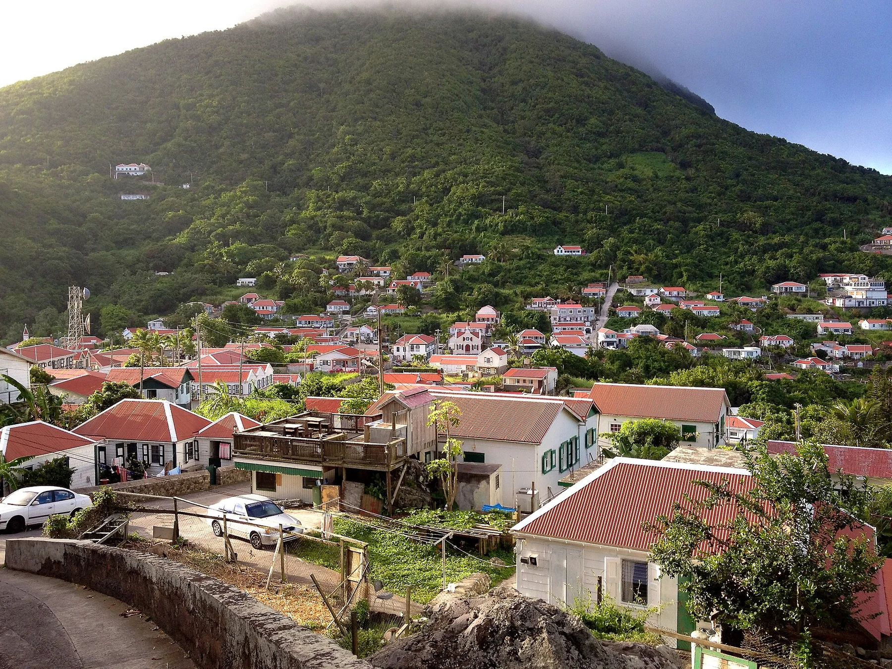
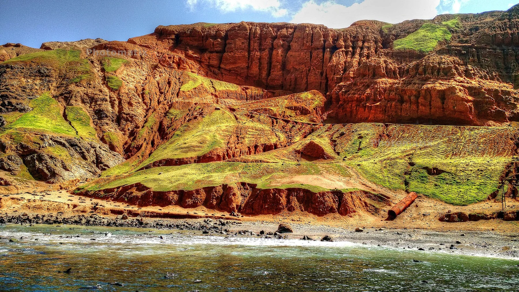
The rim view is impressive, but descending into dense crater forest makes the volcano feel enclosed and unexpectedly tropical.
Plan the least frequent boat or flight first, then use the remaining time for the signature route rather than trying to collect every viewpoint.
Look a little closer
Worth discovering
The details that make Sint Eustatius different.
Photo journal
01
The Quill
A well-marked trail climbs and enters the volcanic crater.
Destination view
02
Oranjestad ruins
Warehouses and fortifications recall the island's trading era.
Photo journal
03
Blue Bead Hole
Divers search for historic trade beads near the coast.
Photo journal
A closer look at Sint Eustatius
8 photographs
01Statia Coastline looking at Saba - panoramio02Sint Eustatius — view 203Sint Eustatius Island04Fort Oranje from the Slave Path - panoramio05View of the sea from the fort in Statia (St. Eustatius) (1263071031)06Famous Glass Beads used by the slaves in Statia (St. Eustatius) (1263927000)07Quill dormant vulcano08Kaboum - Canon in Statia Fort (St. Eustatius) (1263927398)
Landscape and history
A deeper history of Sint Eustatius
A quiet island combines a dormant volcano, underwater archaeology and the ruins of a once-important trading port. The deeper story links its visible features with the people and changes behind them.
4 min readLesser Antilles, Caribbean Netherlands
Sint Eustatius is centred on Lesser Antilles, where a quiet island combines a dormant volcano, underwater archaeology and the ruins of a once-important trading port. The strongest reason to make the journey is to hike down into the green crater of the quill.
The strongest visual shorthand for Sint Eustatius is the experience described as “Hike down into the green crater of The Quill”. Behind it lies a more complex relationship between physical processes, settlement and the modern idea of the place as a destination. The rim view is impressive, but descending into dense crater forest makes the volcano feel enclosed and unexpectedly tropical.
On an island, coast, altitude and exposure work together. At Sint Eustatius, the feature described as “The Quill” shows how a short distance can separate sheltered ground from a very different ocean-facing environment. A well-marked trail climbs and enters the volcanic crater.
Sint Eustatius is not a uniform area. Changes in elevation, exposure, water and substrate produce distinct environments over short distances, which is why a route through the place often reveals more than a fixed viewpoint.
02
Human history
The cultural layer of the place
Sint Eustatius became one of the Caribbean's busiest free ports in the eighteenth century. Merchants stored and exchanged sugar, weapons, textiles and enslaved people in warehouses along Lower Town, earning the island the name Golden Rock despite its small size and limited plantations.
On 16 November 1776 Fort Oranje returned the salute of the American brig Andrew Doria, an event often described as the first formal acknowledgement of the new United States by a foreign authority. Britain captured the island in 1781 and confiscated merchant property, breaking the commercial system that had produced its brief prosperity.
03
Reorganisation
What altered the old balance
The decline of the free port preserved an archaeological landscape of warehouse foundations, forts, cemeteries and submerged structures. Above them, the Quill's forested crater represents an older volcanic history, so the island's two strongest stories are stacked vertically rather than spread across distance.
04
Visible evidence
Landmarks that carry the deeper story
Look closely at the feature “The Quill” in Sint Eustatius; it carries information that a panoramic view can miss. A well-marked trail climbs and enters the volcanic crater. At Sint Eustatius, it gives a concrete reference point for reading change rather than merely collecting viewpoints.
At Sint Eustatius, the feature “Oranjestad ruins” is one of the most useful pieces of visible evidence. Warehouses and fortifications recall the island's trading era. For Sint Eustatius, that relationship is more informative than treating the feature only as a photograph or checklist item.
At Sint Eustatius, the feature “Blue Bead Hole” is one of the most useful pieces of visible evidence. Divers search for historic trade beads near the coast. Within Sint Eustatius, the feature explains why this destination differs from nearby landscapes.
05
Living landscape
Why the landscape still feels dynamic
At Sint Eustatius, season is part of the landscape history, not merely a planning detail. For Sint Eustatius, the most reliable visiting window is Dec-May.
For Sint Eustatius, the stated visiting window is Dec-May, but its practical meaning depends on local weather, water and transport rather than the calendar alone.
Placed within its wider geography, Sint Eustatius is not an isolated exception. Beyond the best-known image of Sint Eustatius feature, Sint Eustatius matters because oranjestad ruins and blue bead hole place the destination inside a broader regional story.
Chronology
Key dates
The Golden Rock
Neutral trade and vast warehouses made the island a major Atlantic entrepot.
The Statia salute
Fort Oranje answered the Andrew Doria, linking the island to the American Revolution.
British capture
Admiral Rodney seized the port and its wealth, accelerating the end of its commercial dominance.
Travel notes
Plan your visit
Time needed
3-5 days
Getting around
Local transport, walking and boat or ferry connections
Effort
Easy to moderate
Plan first
Main flight or ferry, accommodation and weather backup
Time of day
Morning movement; late light for coast
Best window
Dec-May
Traveller stories
Stories from people who have been here.
First-hand moments, practical notes and overlooked details from Sint Eustatius.