Reef diversity
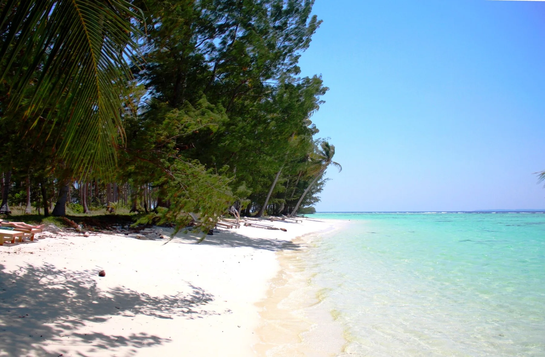
Coral systems surround many islands and support a rich mix of marine habitats.
Plan the least frequent boat, ferry or exposed coastal section first. Use early or late light and keep a weather alternative during Apr-Oct.
A dispersed tropical archipelago of coral reefs, forested islands, sea villages and volcanic landscapes in central Sulawesi.
Coral systems surround many islands and support a rich mix of marine habitats.
Plan the least frequent boat, ferry or exposed coastal section first. Use early or late light and keep a weather alternative during Apr-Oct.
The details that make Togian Islands different.
Coral systems surround many islands and support a rich mix of marine habitats.
Sea-oriented communities express a way of life built around boats, fishing and inter-island knowledge.
The experience depends on moving through channels and between contrasting islands rather than remaining in one resort enclave.
A dispersed tropical archipelago of coral reefs, forested islands, sea villages and volcanic landscapes in central Sulawesi. This account follows the forces, communities and decisions that made the present landscape.
The Togian Islands spread across the Gulf of Tomini as a loose archipelago of forested land, coral reefs and small settlements. Long travel times and limited road infrastructure make boats the principal connective system. The islands combine marine biodiversity with communities whose lives remain strongly organised around fishing, inter-island movement and coastal resources.
Visitors often encounter Togian Islands through the idea of “Reef diversity”, but the destination is more than that single scene. Its landscape carries evidence of work, movement, adaptation and environmental change. Coral systems surround many islands and support a rich mix of marine habitats.
Continue to practical planningBefore roads, settlements or protected-area boundaries, the terrain of Togian Islands set the basic terms. Volcanic and limestone islands rise from sheltered tropical water, surrounded by fringing reefs, lagoons and mangroves. Some interiors remain densely forested, while beaches and shallow channels create smaller-scale coastal environments. The archipelago's dispersed form means that no single island represents the whole system; the spaces between islands are equally important.
Because land is limited, every ridge, bay and passage acquires practical importance. At Togian Islands, “Reef diversity” is where that compressed geography becomes easiest to read. Coral systems surround many islands and support a rich mix of marine habitats.
At Togian Islands, daily life gives the terrain a historical meaning that a viewpoint alone cannot provide. Bajo sea communities, settled villages and migrants from Sulawesi contribute to a diverse cultural landscape. Fishing, coconut cultivation and small-scale tourism provide income, while access to schools, health services and markets depends on boat routes. Community-led marine protection has become increasingly important as reefs face pressure from extraction and climate change.
At Togian Islands, the feature described as “Bajo settlements” offers a second line of evidence. Sea-oriented communities express a way of life built around boats, fishing and inter-island knowledge. Within Togian Islands, it shows how local knowledge and practical use became embedded in the landscape.
Formal protection changed how Togian Islands was described and managed. At Togian Islands, new boundaries, visitor rules and conservation priorities created a public identity that still has to coexist with settlements, customary use and economic pressures. At Togian Islands, the current visitor experience is the newest layer rather than the whole history.
At Togian Islands, the feature “Reef diversity” provides a precise clue to how the landscape works. Coral systems surround many islands and support a rich mix of marine habitats. Its position and condition at Togian Islands connect physical history with the way people use the place now.
At Togian Islands, the feature “Bajo settlements” provides a precise clue to how the landscape works. Sea-oriented communities express a way of life built around boats, fishing and inter-island knowledge. At Togian Islands, it gives a concrete reference point for reading change rather than merely collecting viewpoints.
At Togian Islands, the feature “Archipelago scale” is one of the most useful pieces of visible evidence. The experience depends on moving through channels and between contrasting islands rather than remaining in one resort enclave. Within Togian Islands, it is both an attraction and a record of the processes described above.
Togian Islands changes through the year because weather and biological cycles rearrange what can be seen and used. The drier months from roughly April to October generally provide calmer crossings and clearer water, though tropical weather remains variable. Rainier periods can disrupt transport and reduce underwater visibility. Because services are limited, seasonal conditions affect not only recreation but the practical reliability of movement between islands.
For Togian Islands, the main seasonal constraint is: the strongest planning window is Apr-Oct. For Togian Islands, outside it, check weather, daylight, road or ferry schedules and seasonal closures before committing to a fixed route.
For Togian Islands, one practical detail matters: ferries, tunnels and weather can change the order of the day. For Togian Islands, build the route around the least frequent connection, not the closest viewpoint.
Placed within its wider geography, Togian Islands is not an isolated exception. For Togian Islands, the wider context shows that, the Togians sit within the complex geography of Sulawesi, between the northern and central arms of the island. For Togian Islands, linking them with coastal towns around the Gulf of Tomini reveals how marine routes connect otherwise distant communities and how island conservation depends on decisions made across a much wider seascape.
A small Java Sea archipelago of coral reefs, mangroves, fishing villages and low forested islands sits north of central Java.
Explore this place
A volcanic island off northern Sumatra combines reef coastlines, forested hills and small settlements around the port of Sabang.
Explore this place
A far-flung archipelago of forested limestone islets, clear channels, reefs and small communities spread across an immense marine landscape.
Explore this place