A compact circuit descends to the meeting of the Tolminka and Zadlascica rivers beneath narrow rock walls. The deeper story links its visible features with the people and changes behind them.
4 min readSoca Valley, Slovenia
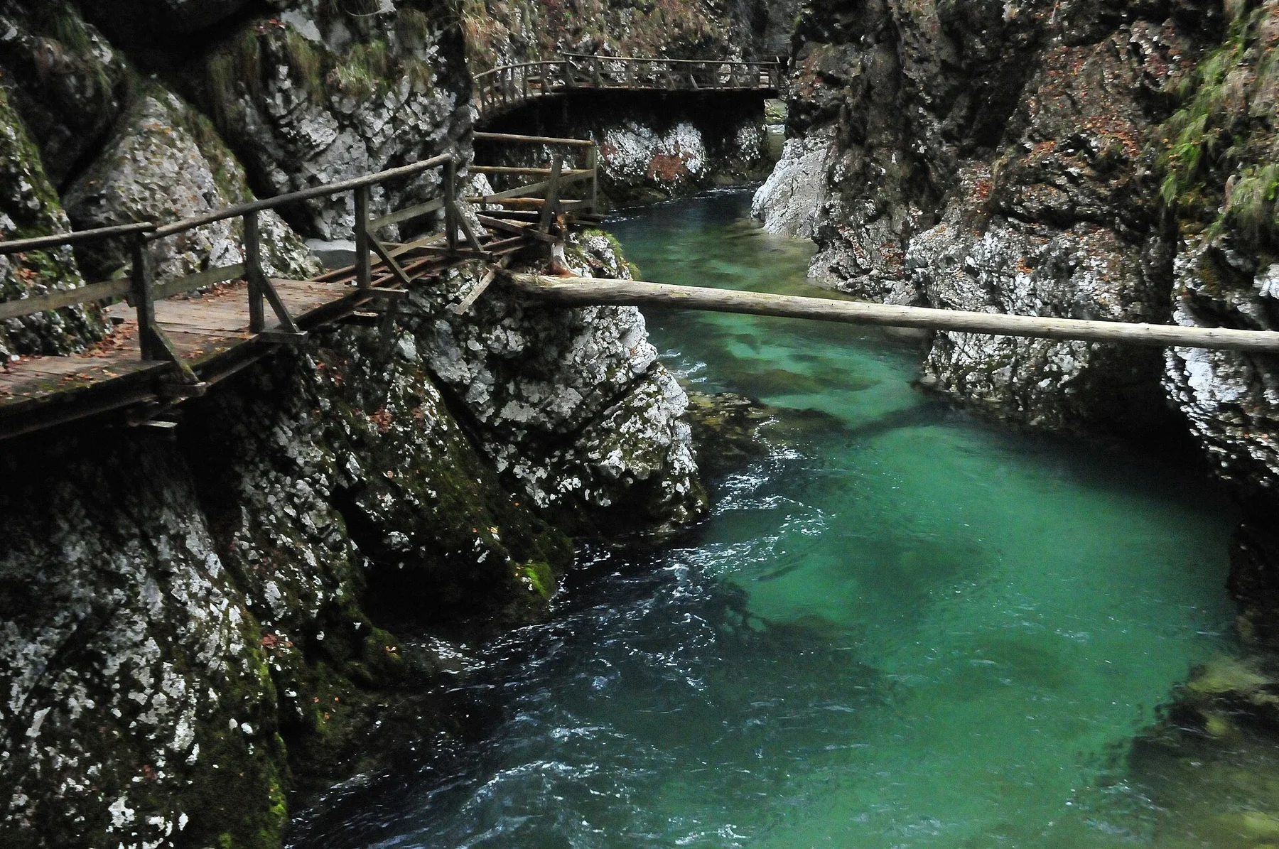
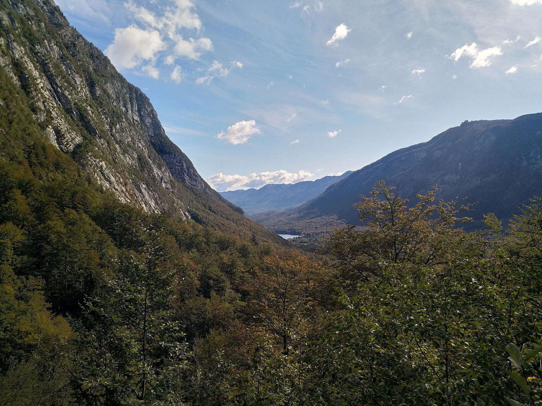
Tolmin Gorges is centred on Soca Valley, where a compact circuit descends to the meeting of the Tolminka and Zadlascica rivers beneath narrow rock walls. The strongest reason to make the journey is to descend to the lowest confluence in Triglav National Park.
The strongest visual shorthand for Tolmin Gorges is the experience described as “Descend to the lowest confluence in Triglav National Park”. Behind it lies a more complex relationship between physical processes, settlement and the modern idea of the place as a destination. The circuit combines a thermal spring, wedged boulder, narrow river channels and a high road bridge within a small area.
At Tolmin Gorges, the physical story begins with the structure of the ground. Changes in height, rock, water and exposure make the sequence important: the approach, the most engineered or natural passage and the final overlook each reveal a different part of Soca Valley.
The path is inseparable from the terrain it crosses. At Tolmin Gorges, “Bear’s Head” turns engineering or trail logic into something visible underfoot. A large triangular boulder is wedged above a narrow side gorge.
02
Lives and livelihoods
The human landscape behind the scenery
The Tolmin gorges sit at the meeting of the Tolminka and Zadlascica, below villages whose paths, mills and water use long depended on the narrow valleys. Dante's Cave, a karst chamber above the gorge, gained its literary name from a tradition linking the poet's travels to the area, although the association cannot be proved.
Tourist paths and bridges were gradually formalised in the twentieth century, later becoming the lowest entry point of Triglav National Park. The route now combines natural features with traces of local infrastructure and the memory culture of the Soca region.
03
Modern history
A landscape reorganised
Inclusion within the national park shifted the gorges from a local excursion into a heavily managed gateway, with one-way circulation and timed entry introduced to reduce congestion on narrow paths.
04
Field notes
What to read in the landscape
At Tolmin Gorges, the feature “Bear’s Head” is one of the most useful pieces of visible evidence. A large triangular boulder is wedged above a narrow side gorge. At Tolmin Gorges, the detail links local scale with the wider regional pattern.
At Tolmin Gorges, the feature “Thermal spring” provides a precise clue to how the landscape works. Warm water emerges beside the cold Tolminka river. At Tolmin Gorges, the detail links local scale with the wider regional pattern.
At Tolmin Gorges, the significance of the feature “Devil’s Bridge” goes beyond its visual impact. The road bridge crosses high above the gorge and provides a top-down view of the route. At Tolmin Gorges, it gives a concrete reference point for reading change rather than merely collecting viewpoints.
05
Living landscape
The current chapter
A single visit to Tolmin Gorges captures only one phase of its annual cycle. For Tolmin Gorges, the most reliable visiting window is Apr-Oct.
For Tolmin Gorges, one practical detail matters: stone steps can be wet and steep. For Tolmin Gorges, confirm seasonal opening and current one-way arrangements.
For Tolmin Gorges, the most useful visiting period is: morning for softer light.
Placed within its wider geography, Tolmin Gorges is not an isolated exception. Beyond the best-known image of Tolmin Gorges crossing, Tolmin Gorges is useful because thermal spring and devil’s bridge place the route inside a broader landscape story.
Chronology
Key dates
Water and village paths
The confluence supported local movement and small-scale use below the surrounding settlements.
Public paths formalised
Bridges, steps and galleries made the gorge accessible to a broader visitor public.
A national-park gateway
Managed circulation now protects a confined site receiving substantial seasonal use.
Travel notes
Plan your visit
Time needed
2-3 hours
Getting around
Walking loop from Tolmin gorge entrance
Effort
Moderate; steep stairs
Plan first
Entry time and wet steps
Time of day
Morning for softer light
Best window
Apr-Oct
Traveller stories
Stories from people who have been here.
First-hand moments, practical notes and overlooked details from Tolmin Gorges.