Southern Pindus stronghold

Tzoumerka

Deep gorges, stone bridges and high villages occupy a rugged section of the southern Pindus away from Greece’s best-known routes.

Stone bridgesPindus villagesRiver gorges

Location
Epirus, Greece
Best window
May-Oct
Suggested stay
2-4 days
Go for
Mountain villages and gorges
The reason to go

Kalarrytes and Syrrako

Closely built stone villages preserve a strong mountain architectural identity.

Start early and make this the first exposed stop of the day. Keep a lower route ready if cloud, heat, wind or trail conditions change during May-Oct.

Look a little closer

Worth discovering

The details that make Tzoumerka different.

Destination view
01

Kalarrytes and Syrrako

Closely built stone villages preserve a strong mountain architectural identity.

Destination view
02

Arachthos gorge

The river cuts a dramatic corridor beneath bridges and forested slopes.

Destination view
03

Kipina Monastery

A cliff-side monastery demonstrates how buildings occupy even the steepest terrain.

Photo journal

A closer look at Tzoumerka

13 photographs
Landscape and history

How Tzoumerka became the place it is

Deep gorges, stone bridges and high villages occupy a rugged section of the southern Pindus away from Greece’s best-known routes. The view is only the surface of a longer story of formation, use and change.

Tzoumerka occupies a steep mountain region between the Arachthos and Aspropotamos river systems. Deep gorges, stone bridges and high villages occupy a rugged section of the southern Pindus away from Greece’s best-known routes. Tzoumerka forms part of the larger Pindus arc and can be understood alongside Zagori, the Acheloos valley and the mountain communities of Thessaly.
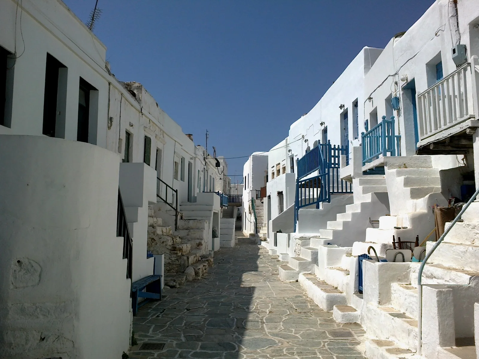
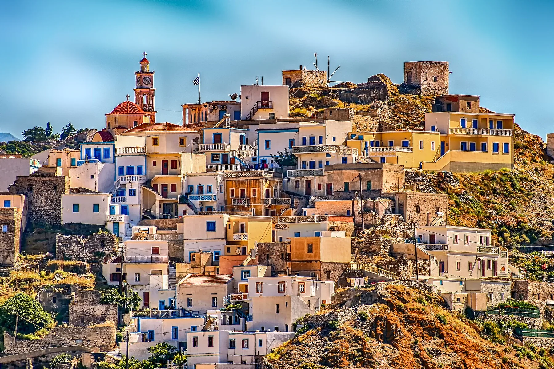
Many visits to Tzoumerka begin with the experience described as “Kalarrytes and Syrrako”. The more revealing question is why it exists here, how people used the surrounding ground and what remains visible from earlier phases. Closely built stone villages preserve a strong mountain architectural identity.

Continue to practical planning
Strogula -TzoumerkaSee the complete photo journal
Physical setting

The forces behind the first impression

The first layer of Tzoumerka is geological and ecological rather than scenic. Limestone peaks, narrow ravines and forested slopes create abrupt changes in elevation, with roads repeatedly crossing ridges and descending to rivers.

Relief controls far more than the view. At Tzoumerka, “Kalarrytes and Syrrako” reveals how elevation divides vegetation, weather, water and the routes available to people. Closely built stone villages preserve a strong mountain architectural identity.

Human history

How people learned to live here

At Tzoumerka, people learned to work with the landscape limits rather than arriving after its story was complete. Stone-built villages, monasteries and arched bridges reflect a history of mountain movement, pastoralism and local craft across difficult terrain.

At Tzoumerka, the feature described as “Arachthos gorge” offers a second line of evidence. The river cuts a dramatic corridor beneath bridges and forested slopes. Within Tzoumerka, it shows how local knowledge and practical use became embedded in the landscape.

Change

The modern turning point

The decisive modern change at Tzoumerka was access. At Tzoumerka, transport and visitor infrastructure made the landscape easier to reach while concentrating pressure at the few points where roads, boats or trails enter it. Tzoumerka should therefore be read as an evolving cultural landscape rather than a timeless scene.

Field notes

The evidence still visible on the ground

Look closely at the feature “Kalarrytes and Syrrako” in Tzoumerka; it carries information that a panoramic view can miss. Closely built stone villages preserve a strong mountain architectural identity. At Tzoumerka, the detail links local scale with the wider regional pattern.

At Tzoumerka, the significance of the feature “Arachthos gorge” goes beyond its visual impact. The river cuts a dramatic corridor beneath bridges and forested slopes. At Tzoumerka, it gives a concrete reference point for reading change rather than merely collecting viewpoints.

At Tzoumerka, the feature “Kipina Monastery” provides a precise clue to how the landscape works. A cliff-side monastery demonstrates how buildings occupy even the steepest terrain. Within Tzoumerka, the feature explains why this destination differs from nearby landscapes.

Continuity

The current chapter

A single visit to Tzoumerka captures only one phase of its annual cycle. Late spring and early autumn are balanced for walking and road travel; midsummer can be hot in lower valleys, while winter brings snow and limited access.

For Tzoumerka, the main seasonal constraint is: the strongest planning window is May-Oct. For Tzoumerka, outside it, check weather, daylight, road or ferry schedules and seasonal closures before committing to a fixed route.

For Tzoumerka, one practical detail matters: cloud, wind and trail conditions can change quickly. For Tzoumerka, put the highest or most exposed stop first and keep a lower-level alternative.

Placed within its wider geography, Tzoumerka is not an isolated exception. Tzoumerka forms part of the larger Pindus arc and can be understood alongside Zagori, the Acheloos valley and the mountain communities of Thessaly.
Travel notes

Plan your visit

Time needed
2-4 days
Getting around
Car to access points, then walking or hiking
Effort
Moderate
Plan first
Opening days and any limited-entry sites
Time of day
Start early for clearer conditions and more time
Best window
May-Oct
Traveller stories

Stories from people who have been here.

First-hand moments, practical notes and overlooked details from Tzoumerka.

Loading traveller stories…

Browse all traveller stories ↗

Keep exploring

Where next?

All place stories