Ma Pi Leng
A high pass opens over the Nho Que gorge and exposes the vertical scale of the plateau.
Start early and make this the first exposed stop of the day. Keep a lower route ready if cloud, heat, wind or trail conditions change during Sep-Apr.
A high northern landscape of limestone peaks, deep river valleys, terraced fields and culturally distinct mountain communities.
A high pass opens over the Nho Que gorge and exposes the vertical scale of the plateau.
Start early and make this the first exposed stop of the day. Keep a lower route ready if cloud, heat, wind or trail conditions change during Sep-Apr.
The details that make Ha Giang different.
A high pass opens over the Nho Que gorge and exposes the vertical scale of the plateau.
Walls, houses and small fields reveal how communities work within a terrain with very limited soil.
Regional market towns bring languages, textiles, produce and mountain economies together.
A high northern landscape of limestone peaks, deep river valleys, terraced fields and culturally distinct mountain communities. The view is only the surface of a longer story of formation, use and change.
Ha Giang occupies Vietnam's far north, where the Dong Van Karst Plateau rises into a dense pattern of limestone peaks, narrow valleys and high passes. Roads cross terrain that often seems too steep for settlement, yet villages, fields and market towns appear throughout the plateau, giving the landscape a strongly inhabited character.
Many visits to Ha Giang begin with the experience described as “Ma Pi Leng”. The more revealing question is why it exists here, how people used the surrounding ground and what remains visible from earlier phases. A high pass opens over the Nho Que gorge and exposes the vertical scale of the plateau.
Continue to practical planningUnderstanding Ha Giang starts below the visible surface. Grey limestone dominates the higher districts, broken by pockets of cultivated soil and deep river gorges. Ma Pi Leng Pass overlooks the Nho Que valley, while other routes move between rock forest, terraced slopes and broader agricultural basins. Seasonal cloud can compress the views into a much more intimate landscape.
Relief controls far more than the view. At Ha Giang, “Ma Pi Leng” reveals how elevation divides vegetation, weather, water and the routes available to people. A high pass opens over the Nho Que gorge and exposes the vertical scale of the plateau.
At Ha Giang, human history is written into settlement and land use rather than separated from the scenery. Hmong, Dao, Tay, Lo Lo and other communities contribute distinct languages, clothing, architecture and market traditions. Stone-walled villages and small fields show adaptation to limited soil. Tourism has grown rapidly along the main loop, but local agriculture and cross-border culture remain fundamental.
The role of “Stone villages” is especially revealing at Ha Giang. Walls, houses and small fields reveal how communities work within a terrain with very limited soil. In the history of Ha Giang, it connects the wider regional context with a specific place that can still be examined today.
The decisive modern change at Ha Giang was access. At Ha Giang, transport and visitor infrastructure made the landscape easier to reach while concentrating pressure at the few points where roads, boats or trails enter it. At Ha Giang, the consequences are clearest where traditional use, protection and tourism occupy the same ground.
Look closely at the feature “Ma Pi Leng” in Ha Giang; it carries information that a panoramic view can miss. A high pass opens over the Nho Que gorge and exposes the vertical scale of the plateau. Within Ha Giang, the feature explains why this destination differs from nearby landscapes.
At Ha Giang, the feature “Stone villages” is one of the most useful pieces of visible evidence. Walls, houses and small fields reveal how communities work within a terrain with very limited soil. For Ha Giang, that relationship is more informative than treating the feature only as a photograph or checklist item.
Start with the feature “Highland markets”, because it condenses a much larger part of the story of Ha Giang. Regional market towns bring languages, textiles, produce and mountain economies together. Within Ha Giang, the feature explains why this destination differs from nearby landscapes.
At Ha Giang, season is part of the landscape history, not merely a planning detail. Autumn brings harvest colour in some terraced areas, while the drier winter and early spring months often provide clearer roads and cooler conditions. Cold fog can settle over the plateau, and summer rain may intensify landslide and road risks. The region never has one uniform climate because elevation varies sharply.
For Ha Giang, the main seasonal constraint is: the strongest planning window is Sep-Apr. For Ha Giang, outside it, check weather, daylight, road or ferry schedules and seasonal closures before committing to a fixed route.
For Ha Giang, one practical detail matters: cloud, wind and trail conditions can change quickly. For Ha Giang, put the highest or most exposed stop first and keep a lower-level alternative.
Placed within its wider geography, Ha Giang is not an isolated exception. Ha Giang borders China's Yunnan and Guangxi regions and forms part of a wider karst belt across northern Vietnam and southern China. For Ha Giang, cao Bang and Ba Be reveal neighbouring landscapes where limestone, rivers and minority cultures take different forms.
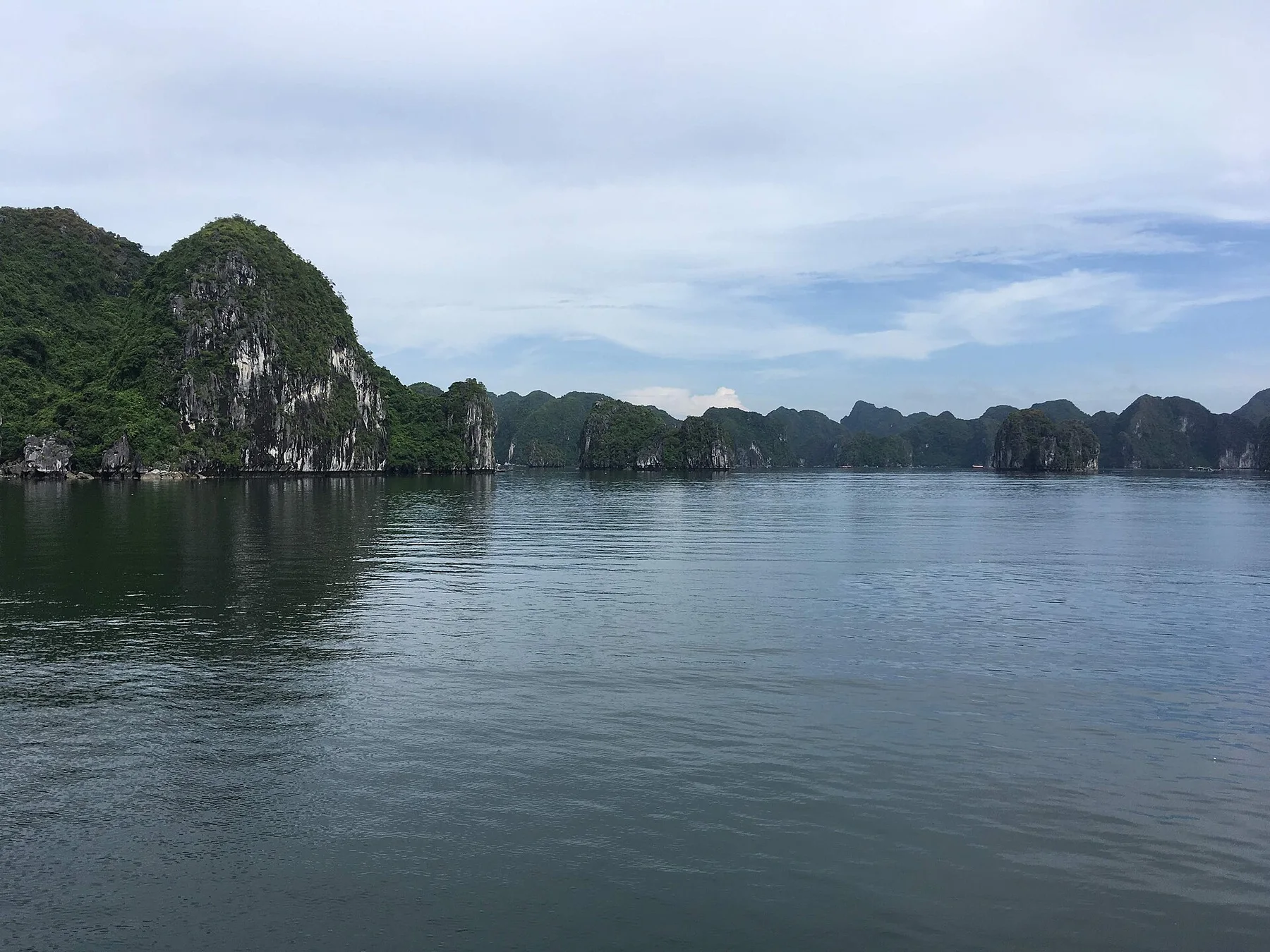
Forested limestone islands, floating communities, coves and a rugged main island form a complex seascape beside Ha Long Bay.
Explore this place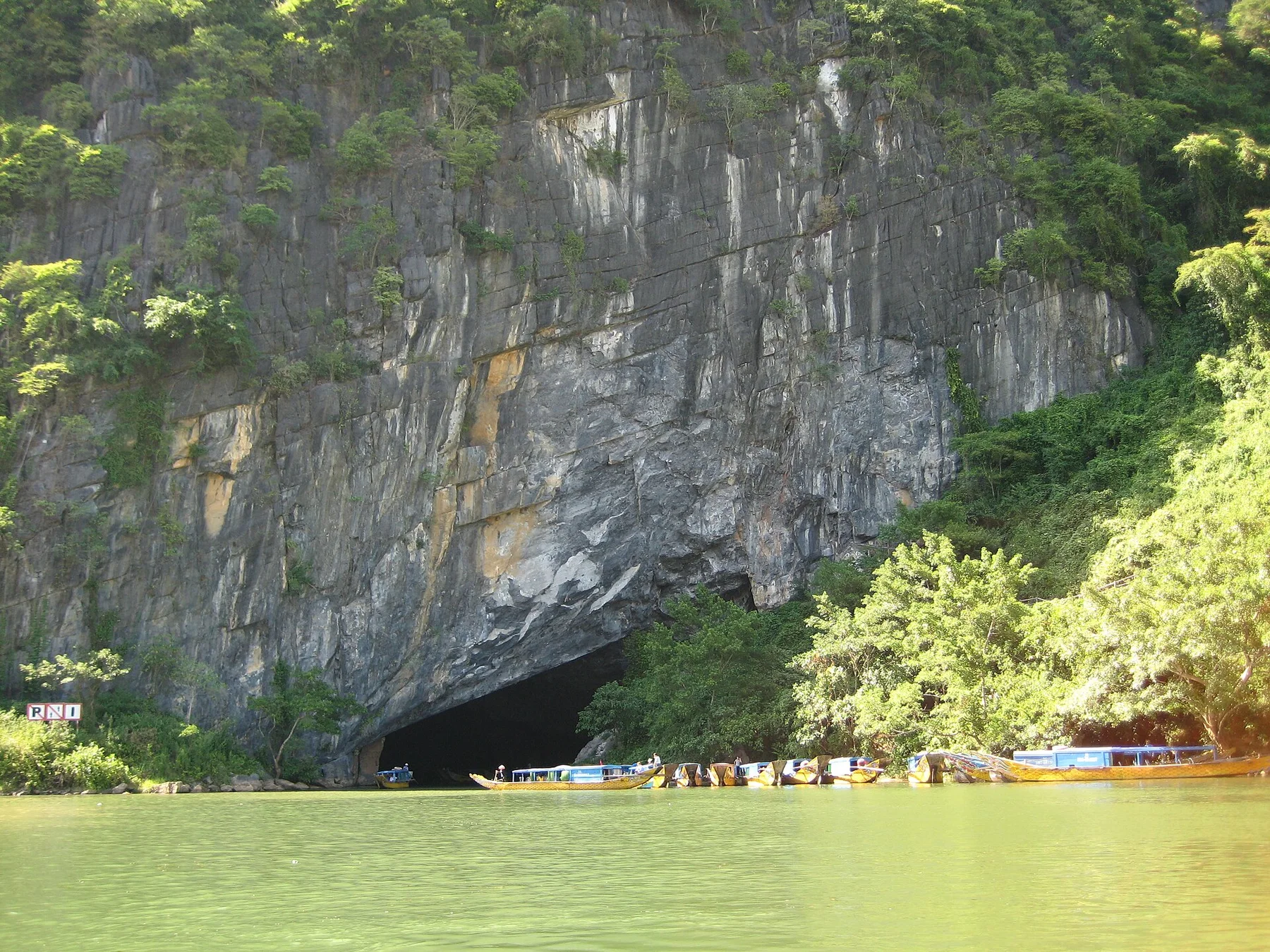
Towering limestone, major cave systems, forest and river villages form a deep karst landscape in central Vietnam.
Explore this place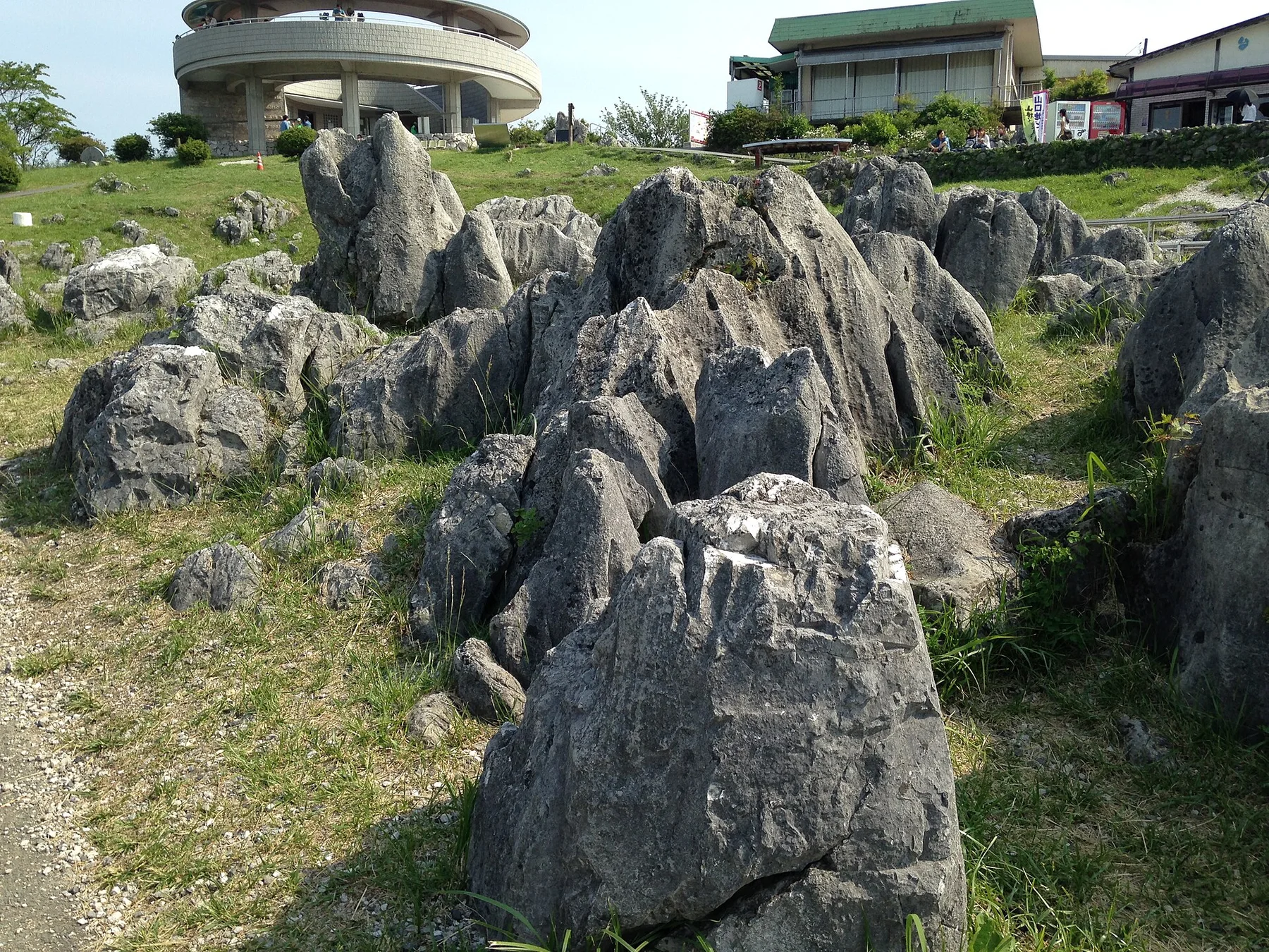
Japan's largest karst plateau combines pale limestone pinnacles, grassland, caves and a long record of human land management.
Explore this place