Tropical cave country

Phong Nha-Ke Bang

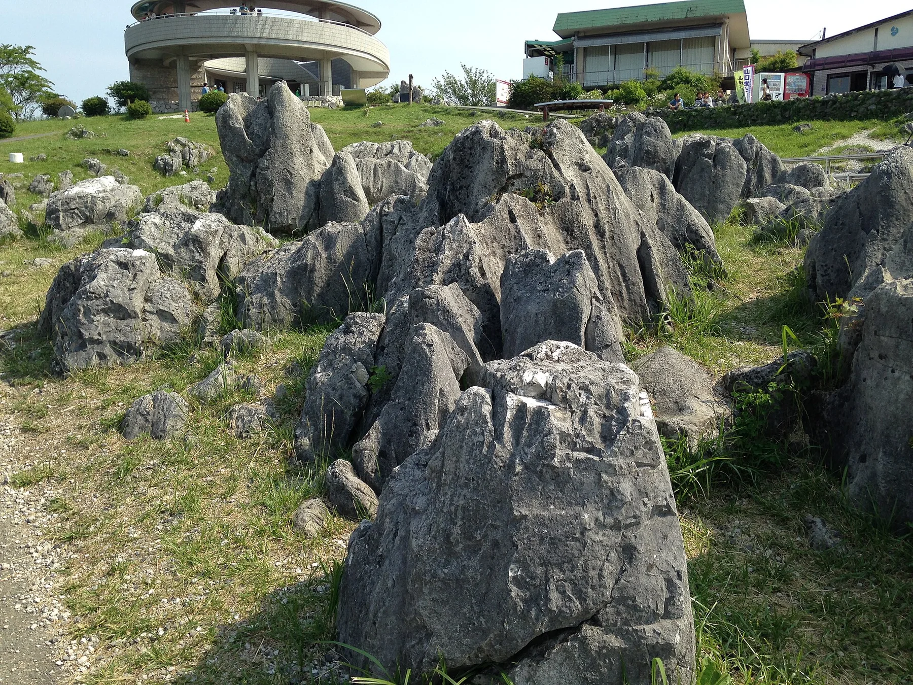
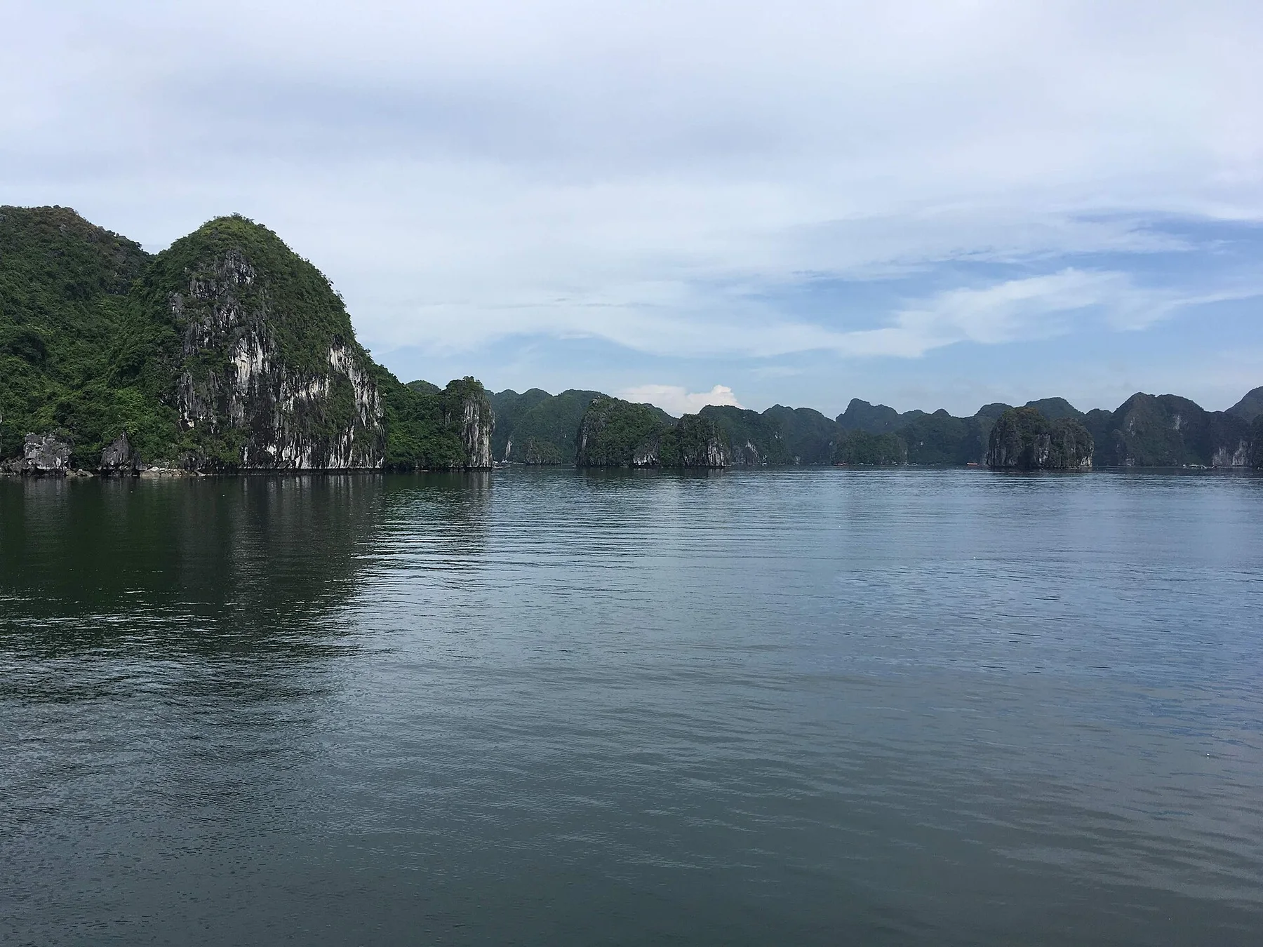
Towering limestone, major cave systems, forest and river villages form a deep karst landscape in central Vietnam.

Cave systemsKarst towersForest rivers

Location
Quang Binh, Vietnam
Best window
Feb-Aug
Suggested stay
2-4 days
Go for
Caves, river and karst
The reason to go

Phong Nha river cave

Boat access makes the connection between village river life and underground limestone immediately visible.

Check opening days or local access first, then connect the main site to the surrounding streets, paths or landscape instead of treating it as an isolated stop.

Look a little closer

Worth discovering

The details that make Phong Nha-Ke Bang different.

Photo journal
01

Phong Nha river cave

Boat access makes the connection between village river life and underground limestone immediately visible.

Photo journal
02

Paradise Cave uplands

Large chambers and forested approaches reveal the vertical depth of the karst system.

Photo journal
03

Son River villages

Agricultural land and river transport show how communities occupy the limited open ground around the park.

Photo journal

A closer look at Phong Nha-Ke Bang

11 photographs
Origins and change

A deeper history of Phong Nha-Ke Bang

Towering limestone, major cave systems, forest and river villages form a deep karst landscape in central Vietnam. The deeper story links its visible features with the people and changes behind them.

Phong Nha-Ke Bang protects an extensive limestone region cut by underground rivers, caves and forested valleys. The best-known caverns are only part of a much larger karst system whose surface is marked by steep towers, enclosed basins and dense tropical vegetation.

Visitors often encounter Phong Nha-Ke Bang through the idea of “Phong Nha river cave”, but the destination is more than that single scene. Its landscape carries evidence of work, movement, adaptation and environmental change. Boat access makes the connection between village river life and underground limestone immediately visible.

Continue to practical planning
Barquero en el Río Son, Phong Nha, Vietnam (43409828472)See the complete photo journal
Landform

From underlying structure to visible landscape

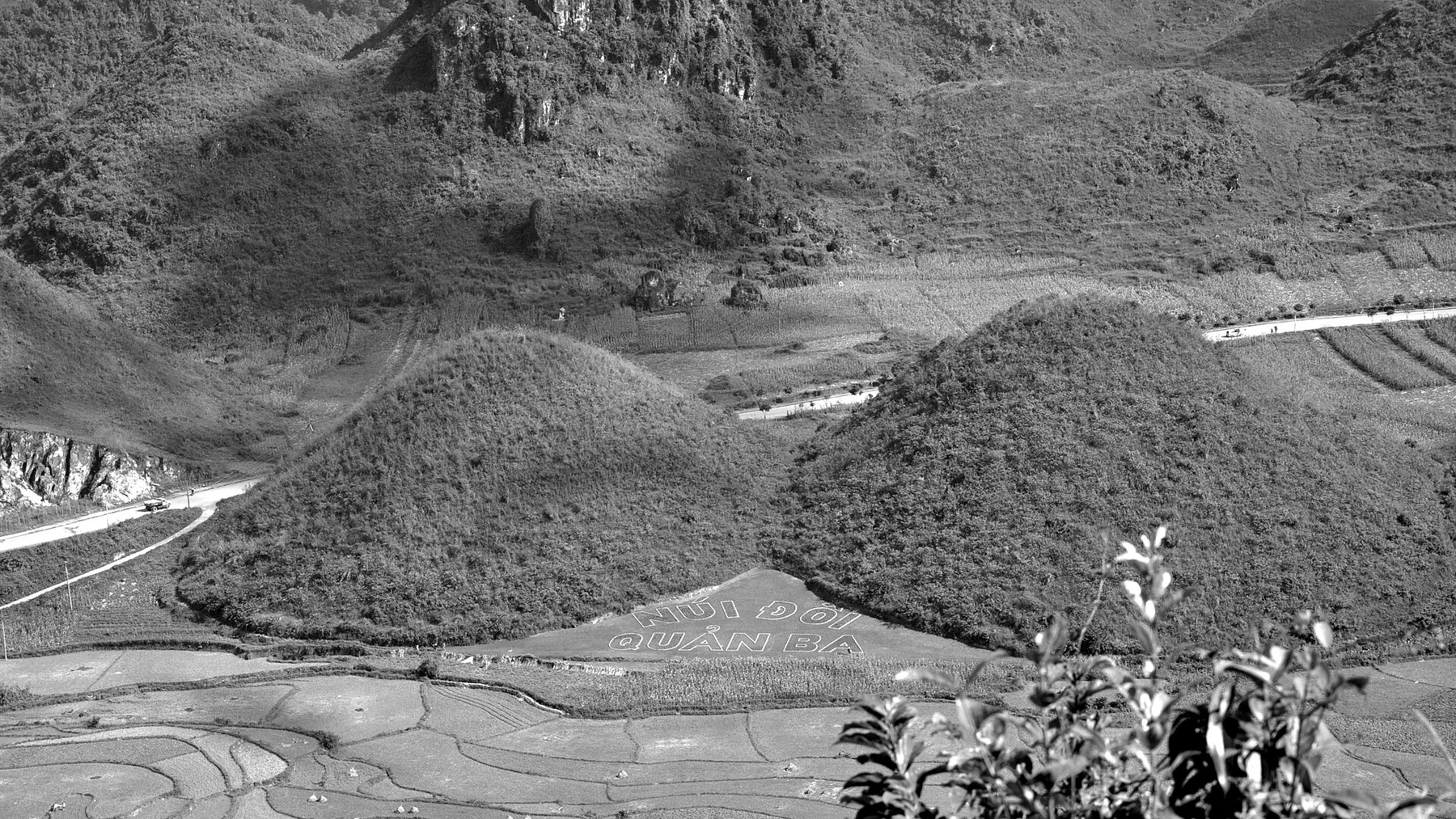
Understanding Phong Nha-Ke Bang starts below the visible surface. Water moves both above and below ground. Rivers disappear into limestone, re-emerge near villages and provide access to cave entrances. Forest covers much of the difficult terrain, while cultivated land occupies flatter valley floors around the park edge.

Forest history at Phong Nha-Ke Bang is often visible through openings, old routes and changes in species rather than monuments. “Phong Nha river cave” is one such point of evidence. Boat access makes the connection between village river life and underground limestone immediately visible.

Lives and livelihoods

The cultural layer of the place

At Phong Nha-Ke Bang, people learned to work with the landscape limits rather than arriving after its story was complete. Phong Nha village, nearby farming communities and a growing guiding economy shape access. Local knowledge is essential for longer cave routes, many of which require permits and specialised teams. The tourism boom has brought opportunity as well as pressure on land and infrastructure.

At Phong Nha-Ke Bang, “Paradise Cave uplands” should not be treated as a decorative detail. Large chambers and forested approaches reveal the vertical depth of the karst system. The feature records how construction, movement or livelihood adapted to local conditions at Phong Nha-Ke Bang.

Change

The transition visible today

The decisive modern change at Phong Nha-Ke Bang was access. At Phong Nha-Ke Bang, transport and visitor infrastructure made the landscape easier to reach while concentrating pressure at the few points where roads, boats or trails enter it. Phong Nha-Ke Bang should therefore be read as an evolving cultural landscape rather than a timeless scene.

Visible evidence

Three details that explain the whole place

At Phong Nha-Ke Bang, the feature “Phong Nha river cave” is best understood as part of the surrounding system rather than an isolated stop. Boat access makes the connection between village river life and underground limestone immediately visible. At Phong Nha-Ke Bang, it gives a concrete reference point for reading change rather than merely collecting viewpoints.

At Phong Nha-Ke Bang, the significance of the feature “Paradise Cave uplands” goes beyond its visual impact. Large chambers and forested approaches reveal the vertical depth of the karst system. For Phong Nha-Ke Bang, that relationship is more informative than treating the feature only as a photograph or checklist item.

Start with the feature “Son River villages”, because it condenses a much larger part of the story of Phong Nha-Ke Bang. Agricultural land and river transport show how communities occupy the limited open ground around the park. Within Phong Nha-Ke Bang, it is both an attraction and a record of the processes described above.

Season and scale

The place within its wider region

At Phong Nha-Ke Bang, season is part of the landscape history, not merely a planning detail. The drier months generally offer the widest range of cave and outdoor access. Heavy rain can raise river levels rapidly and close routes, especially later in the year. Heat and humidity remain significant even when conditions are technically dry.

For Phong Nha-Ke Bang, the main seasonal constraint is: the strongest planning window is Feb-Aug. For Phong Nha-Ke Bang, outside it, check weather, daylight, road or ferry schedules and seasonal closures before committing to a fixed route.

For Phong Nha-Ke Bang, one practical detail matters: use the highlights as a route, not as isolated photo stops, and leave enough time for local roads, short walks and unplanned changes.

Placed within its wider geography, Phong Nha-Ke Bang is not an isolated exception. For Phong Nha-Ke Bang, the wider context shows that, the park forms part of a transboundary limestone belt continuing into Laos. For Phong Nha-Ke Bang, looking beyond one famous cave toward river journeys, smaller caverns and rural valleys gives a more accurate sense of the region scale.
Travel notes

Plan your visit

Time needed
2-4 days
Getting around
Walking locally, with a car or regional transport between stops
Effort
Moderate
Plan first
Accommodation and seasonal transport
Time of day
Morning and late afternoon
Best window
Feb-Aug
Traveller stories

Stories from people who have been here.

First-hand moments, practical notes and overlooked details from Phong Nha-Ke Bang.

Loading traveller stories…

Browse all traveller stories ↗

Keep exploring

Where next?

All place stories